
Scorhill S.3 Reported Cairn
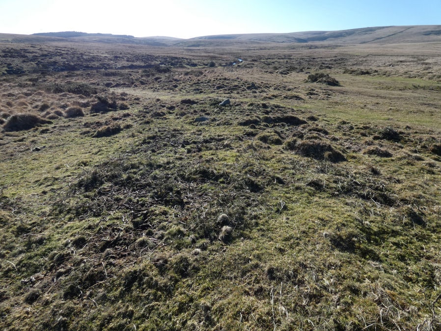
Photo taken on 06-02-2025
Database entries
OS Map: SX 65494 87221
OS Source: Garmin
Butler OS: SX65488721
Alternate name: Scorhill S.3
Short Name: CN Scorhill S3
Butler map: 38.8.3
Butler Vol 5: p.172 & Fig.112
Exist: Yes
Record: Unique
Record Source: Butler
Hut Class: No
Cairn Class: Yes
Lidar: SX 65494 87221
Guide Map: 12
Nearest Bus Stop (Minor): Wonson Telephone Box (3.9 km) [Route: 670]
Nearest Bus Stop (Major): Chagford The Square (4.6 km) [Route: 173,178,671]
Nearby sites: SX 65494 87221
Notes
Entry added by PDW. This is cairn 3 in Fig. 175 (p.249 Vol 5).References
These are selected references with an emphasis on out of copyright sources linked as PDFs. For more detailed references try any linked HER or PMD record above.
- Butler, Jeremy, Dartmoor Atlas of Antiquities, vol.2: The North, (1991)
- Butler, Jeremy, Dartmoor Atlas of Antiquities, vol.5: The Second Millennium B.C., (1997)