
Yar Tor N.E.1 Cairn
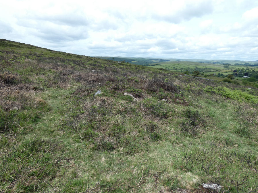
Photo taken on 06-06-2025
Database entries
OS Map: SX 68014 74182
OS Source: Garmin
Butler OS: SX68007416
HER: MDV14377
Alternate name: Yar Tor N.E.1
Short Name: CN Yar Tor N 1
Butler map: 14.11
Grinsell: WIDECOMBE IN THE MOOR 19
Exist: Yes
Record: Unique
Record Source: Butler
Hut Class: No
Cairn Class: Yes
Dimensions (m): 6.0 x 1.0
Lidar: SX 68014 74182
Guide Map: 36
Nearest Bus Stop: Postbridge Bellever (5.2 km) [Route: 98]
Nearby sites: SX 68014 74182
Notes
HER: Barrow north-east of Yar Tor on Corndon Down; located at the northern end of the stone row. Within area of Dartmeet parallel reave system and later prehistoric fields / enclosures. The north cairn comprises vegetation covered mound of earth, slightly ovoid in shape, 6 metres by 6.3 metres by 1 metres high.References
These are selected references with an emphasis on out of copyright sources linked as PDFs. For more detailed references try any linked HER or PMD record above.
- Butler, Jeremy, Dartmoor Atlas of Antiquities, vol.1: The East, (1991)
- Grinsell, L.V., Dartmoor Barrows, Devon Archaeological Society Proceedings No.36 (1978)
- Worth, R. Hansford, Barrow Report 56, T.D.A. Vol.69 pp.75-109 (1937)
- Worth, R. Hansford, The Stone Rows of Dartmoor Part 1, T.D.A. Vol.78 pp.285-316 (1946)