
Sharpitor W.1 Cairn
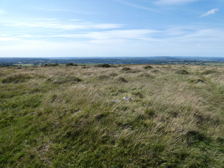
Photo taken on 06-09-2025
Database entries
OS Map: SX 55093 70784
OS Source: HER
Butler OS: SX55087079
HER: MDV5012
Alternate name: Sharpitor W.1
Short Name: CN SharpitorW1
Butler map: 45.11.1
Grinsell: WALKHAMPTON 19
Exist: Yes
Record: Unique
Record Source: Butler
Hut Class: No
Cairn Class: Yes
Dimensions (m): 4.5 x 0.3
Lidar: SX 55093 70784
Guide Map: 38
Nearest Bus Stop: Walkhampton Memorial (2.7 km) [Route: 55,56]
Nearby sites: SX 55093 70784
Notes
HER: A low cairn with a trench cut through it and now covered by bracken vegetation. Situated on a crest it affords impressive vistas over 270 degrees to the west. Recorded during fieldwork survey in 2007 and using geophysics in 2021, which detected possible ditch around this cairn, as well as suggesting the stone row might extend as far as this cairn.References
These are selected references with an emphasis on out of copyright sources linked as PDFs. For more detailed references try any linked HER or PMD record above.
- Butler, Jeremy, Dartmoor Atlas of Antiquities, vol.3: The South-West, (1994)
- Fox, Aileen, 27th Report on Archaeology and Early History, T.D.A. Vol.95 pp.74-86 (1963)
- Grinsell, L.V., Dartmoor Barrows, Devon Archaeological Society Proceedings No.36 (1978)
- Newman, Phil, An Archaeological Survey of an area of Walkhampton Common, Dartmoor National Park, Devon, Southwest Landscape Investigations (2019)