
Black Tor 1 stone row Cairn
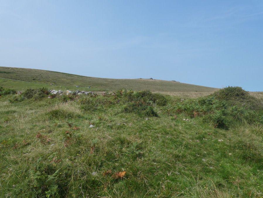
Photo taken on 15-08-2025
Database entries
OS Map: SX 56990 71383
OS Source: Garmin
Butler OS: SX56997137
HER: MDV50268
The Stone Rows of GB: Black Tor Stanlake
Alternate name: Black Tor 1 stone row
Short Name: CN BlackTor 1
Butler map: 45.14.1
Exist: Yes
Record: Unique
Record Source: Butler
Hut Class: No
Cairn Class: Yes
Dimensions (m): 9.0 x 0.4
Lidar: SX 56990 71383
Guide Map: 38
Nearest Bus Stop: Princetown Dartmoor Visitor Centre (3.9 km) [Route: 98,171(20/07/26 to 19/09/26)]
Nearby sites: SX 56990 71383
Notes
The southern end of the Black Tor stone row is terminated by one large cairn (1) with two smaller and close by satellite cairns (2 & 3). See diagram in Butler Vol 3 p.49 and the photograph of the cairns on the Stone Row Of Great Britain site.References
These are selected references with an emphasis on out of copyright sources linked as PDFs. For more detailed references try any linked HER or PMD record above.
- Butler, Jeremy, Dartmoor Atlas of Antiquities, vol.3: The South-West, (1994)
- Gerrard, Sandy, Stanlake prehistoric stone row, Meavy Valley Archaeology. Site Report No.4 (1997)