
Black Tor 3 Cairn
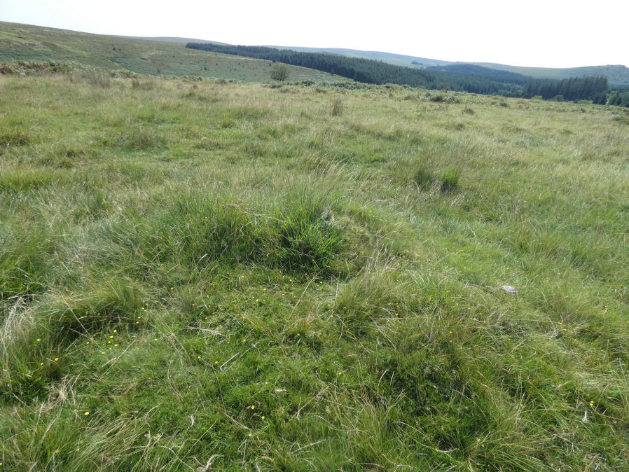
Photo taken on 15-08-2025
Database entries
OS Map: SX 57000 71378
OS Source: Garmin
Butler OS: SX57017137
HER: MDV50267
The Stone Rows of GB: Black Tor Stanlake
Alternate name: Black Tor 3
Short Name: CN BlackTor 3
Butler map: 45.14.3
Exist: Yes
Record: Unique
Record Source: Butler
Hut Class: No
Cairn Class: Yes
Dimensions (m): 3.0 x 0.3
Lidar: SX 57000 71378
Guide Map: 38
Nearest Bus Stop: Princetown Dartmoor Visitor Centre (3.9 km) [Route: 98,171(20/07/26 to 19/09/26)]
Nearby sites: SX 57000 71378
Notes
The southern end of the Black Tor stone row is terminated by one large cairn (1) with two smaller and close by satellite cairns (2 & 3). See also the diagram in Butler Vol 3 p.49 and the photograph of the cairns on the Stone Row Of Great Britain site. (? See also: 1472559)References
These are selected references with an emphasis on out of copyright sources linked as PDFs. For more detailed references try any linked HER or PMD record above.
- Butler, Jeremy, Dartmoor Atlas of Antiquities, vol.3: The South-West, (1994)
- Gerrard, Sandy, Stanlake prehistoric stone row, Meavy Valley Archaeology. Site Report No.4 (1997)