
Ringmoor Down 13 Reported Cairn
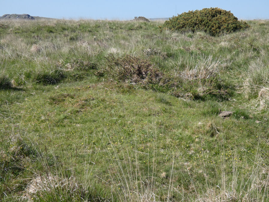
Photo taken on 27-05-2023
Database entries
OS Map: SX 56902 66751
OS Source: Garmin
HER: MDV12716
Alternate name: Ringmoor Down 13
Short Name: CN Ringmoor13
Exist: Yes
Record: Unique
Record Source: HER
Hut Class: No
Cairn Class: Maybe
Dimensions (m): 2.0 x 0.3
Lidar: SX 56902 66751
Guide Map: 47
Nearest Bus Stop: Meavy Primary School (3.2 km) [Route: 56]
Nearby sites: SX 56902 66751
Notes
Southern of a pair. There are a pair of cairns near the reave that are clearly visible on Google satellite separated by about 17m. The southern one was photographed on 27/05/2023 and is located at SX 56902 66751. The northern one is closer to the reave and is located at SX 56905 66768.This record could be Grinsell's SHEEPSTOR 13d and/or Butler's 49.21.10, see: Ringmoor Down 10
References
These are selected references with an emphasis on out of copyright sources linked as PDFs. For more detailed references try any linked HER or PMD record above.
- Butler, Jeremy, Dartmoor Atlas of Antiquities, vol.3: The South-West, (1994)
- Grinsell, L.V., Dartmoor Barrows, Devon Archaeological Society Proceedings No.36 (1978)
- Newman, Phil, Ringmoor Down Premier Archaeological Landscape - A new survey , Southwest Landscape Investigations (2022)