
Grendon Farm Cairn
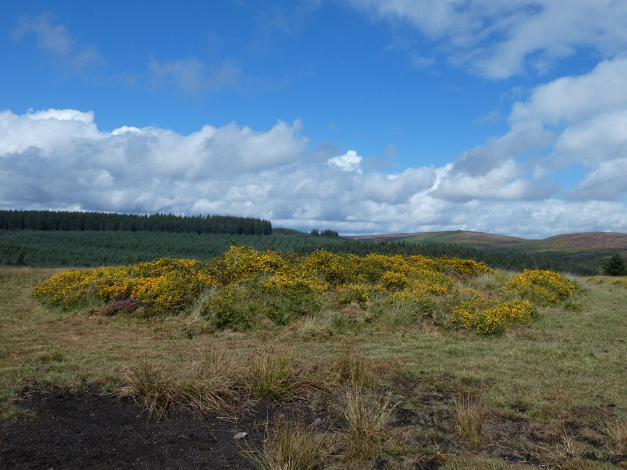
Photo taken on 20-08-2026
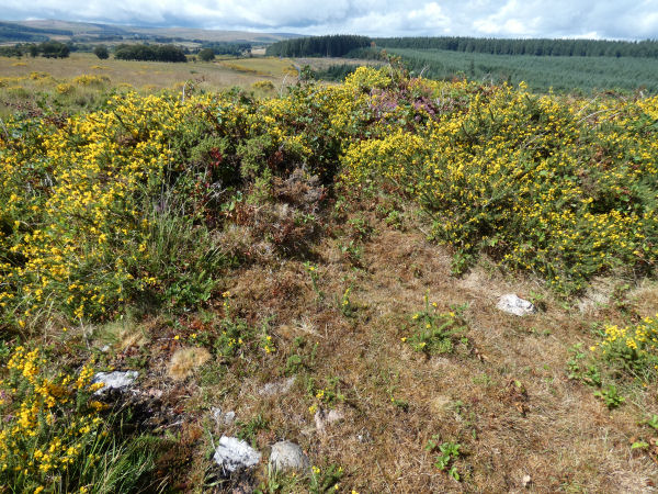
Close up Photo 20/08/2026
Database entries
OS Map: SX 68067 78354
OS Source: Google
HER: MDV6008
Alternate name: Grendon Farm
Short Name: CN GrendonFarm
Grinsell: WIDECOMBE IN THE MOOR 1a
Exist: Yes
Record: Unique
Record Source: Grinsell
Hut Class: No
Cairn Class: Yes
Dimensions (m): 11 x 0.3
Lidar: SX 68067 78354
Guide Map: 28
Nearest Bus Stop (Minor): Warren House Inn (3.5 km) [Route: 171(20/07/26 to 19/09/26)]
Nearest Bus Stop (Major): Postbridge Bellever (2.7 km) [Route: 98]
Nearby sites: SX 68067 78354
Notes
HER: Cairn located on highest point of hill west of Grendon Farm, measuring 12 metres in diameter, composed of small stones overgrown with gorse and heather. Disturbed on the eastern side.Formerly listed here as Grendon Farm (Hill W of) Cairn Circle. It has been recategorised as a cairn. It is very overgrown and towards the centre there are brambles within the gorse. There appear to be some lumps of quartz among the stones making up the cairn which can be seen in the second photo. The author recorded SX 68069 78350 as the location but this is on the edge of the cairn as the central part is so overgrown it can't be reached.
References
These are selected references with an emphasis on out of copyright sources linked as PDFs. For more detailed references try any linked HER or PMD record above.
- Grinsell, L.V., Dartmoor Barrows, Devon Archaeological Society Proceedings No.36 (1978)