
East Mill Tor Reported Cairn
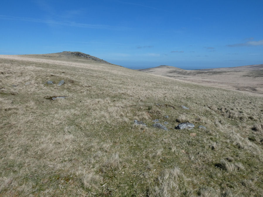
Photo taken on 06-04-2026
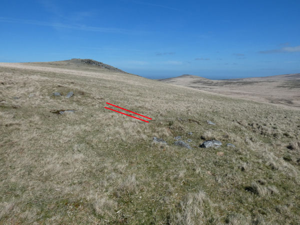
The red lines mark where the sluice gate would have been (photo 06/04/2026)
Database entries
OS Map: SX 59953 89302
OS Source: Garmin
HER: MDV12849
Alternate name: East Mill Tor
Short Name: CN:East Mill
Exist: Yes
Record: Unique
Record Source: HER
Hut Class: No
Cairn Class: Yes
Lidar: SX 59953 89302
Guide Map: 6
Nearest Bus Stop (Minor): Belstone Car Park (6.5 km) [Route: 670]
Nearest Bus Stop (Major): Okehampton Railway Station (5.2 km) [Route: 118,306,6A]
Nearby sites: SX 59953 89302
Notes
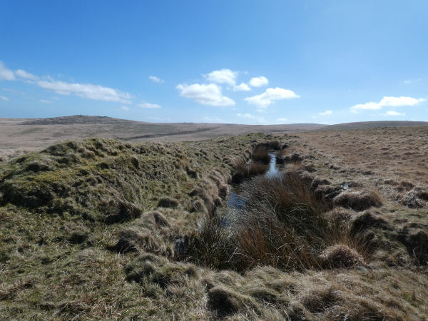
HER: There is no ground evidence to suggest the presence of the cairn described by source (1). However, a stoney mound 0.6m high lies at SX 59948928 and forms part of the retaining bank of a small tinners' reservoir (SX 58 NE 29). If taken in isolation this feature may be confused with a prehistoric cairn.Prowse: A small tumulus a short distance south of East Miltor (East Mill Tor) and due east of High Willis (High Willhays).
The author visited this feature on 06/04/2026 with Steve Szypko. We agree it is a tinners reservoir. The photo shows two sections of banking which would have been joined by a sluice gate. The bank on the RHS in the photo is probably the feature identified as a cairn by Prowse and centred in the photo below. It is difficult to make out but behind the mound is a channel going downhill where the water would have flowed on the opening of the sluice.
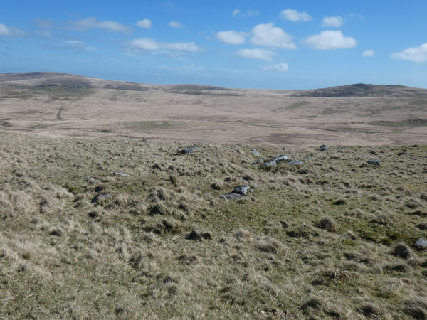
We were actually there to look at the very nearby feature described in the HER as a Late 19th century military artillery range earthworks including a set of experimental parapets comprising a series of banks and ditches. Known locally as 'the Riddow Pits'. See: MDV112437 (SX 59874 89308). Photo taken the same day:
See also: Dartmoor Explorations: Military artefacts between East Mill Tor and Okement Hill
References
These are selected references with an emphasis on out of copyright sources linked as PDFs. For more detailed references try any linked HER or PMD record above.
- Prowse, Arthur B., Notes on the Neighbourhood of Taw Marsh, North Dartmoor, T.D.A. Vol.22 pp.185-199 (1890)