Database entries
OS Map: SX 65857 88888
OS Source: Sandy
HER: MDV6133
Alternate name: Buttern Hill E
Short Name: HT Buttern H6
Exist: Yes
Record: Unique
Record Source: Sandy
Hut Class: Yes
Lidar: SX 65857 88888
Guide Map: 8
Nearest Bus Stop (Minor): Wonson Telephone Box (2.1 km) [Route: 670]
Nearest Bus Stop (Major): Chagford The Square (4.4 km) [Route: 173,178,671]
Nearby sites: SX 65857 88888
Notes
HER:
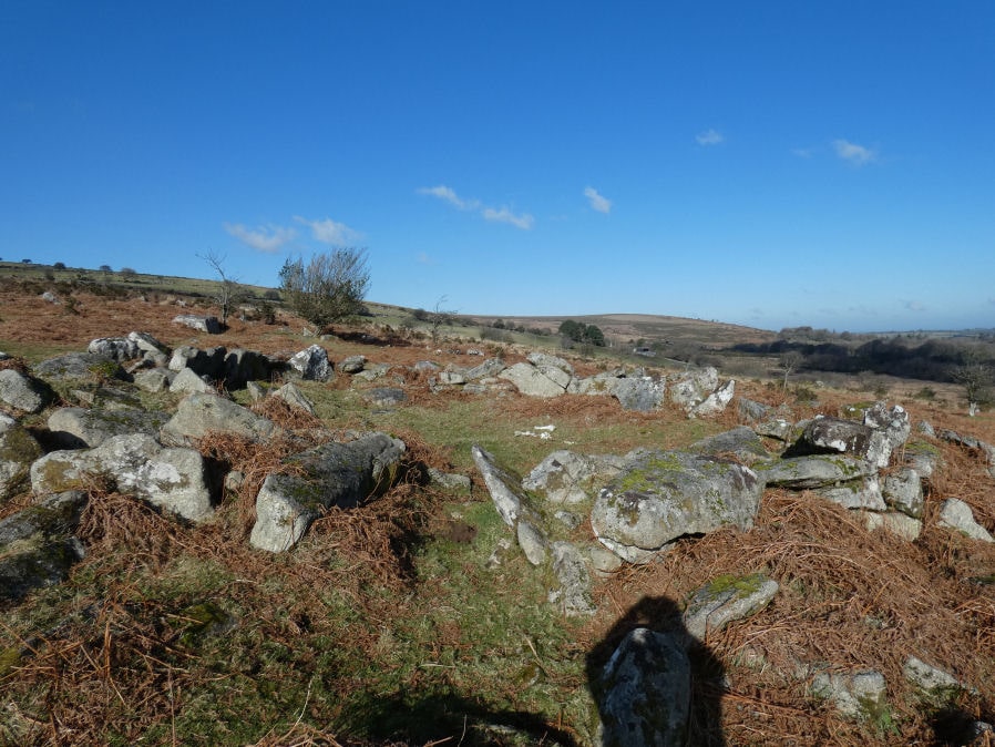
An un-nucleated settlement comprising thirteen identifiable hut circles, with an associated coaxial field system, extending for 200 metres along the eastern side of Buttern Hill. The northernmost group of four huts is on enclosed moorland, the remainder are scattered over open moorland. Seven huts are of double slab wall construction, four are single walled, and two remain as level platforms with fragmentary walling. Internal diameters are between 8.5 metres and 10.5 metres and heights from 0.4 metres to 1.0 metre. Contemporary field walling up to 0.5 metres high encloses approximately twenty-five hectares of hill-slope, it has been severely denuded by modern stone clearance.