
Throwleigh Common Round House
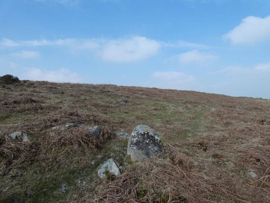
Photo taken on 24-03-2025
Database entries
OS Map: SX 65704 90826
OS Source: Google
HER: MDV59292
Alternate name: Throwleigh Common
Short Name: HT:Throwleig5
Butler map: 39.1.5
Exist: Yes
Record: Unique
Record Source: Sandy
Hut Class: Yes
Lidar: SX 65704 90826
Guide Map: 8
Nearest Bus Stop (Minor): Throwleigh Cross (1.6 km) [Route: 670]
Nearest Bus Stop (Major): Ramsley (2.5 km) [Route: 670,671,6A]
Nearby sites: SX 65704 90826
Notes
HER: Hut Circle '5' of 8.5 metres diameter located within a triangular field in the centre of 'Thowleigh Common settlement'.References
These are selected references with an emphasis on out of copyright sources linked as PDFs. For more detailed references try any linked HER or PMD record above.
- Newman, Phil, Throwleigh Common, Throwleigh, Devon. A 'Premier Archaeological Landscape' within Dartmoor National Park, English Heritage (2007)