
Throwleigh Common Round House
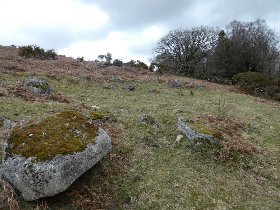
Photo taken on 17-03-2025
Database entries
OS Map: SX 66019 90757
OS Source: Google
HER: MDV59299
Alternate name: Throwleigh Common
Short Name: HT Throwleig26
Butler map: 39.1.17
Exist: Yes
Record: Unique
Record Source: Sandy
Hut Class: Yes
Lidar: SX 66019 90757
Guide Map: 8
Nearest Bus Stop (Minor): Throwleigh Cross (1.0 km) [Route: 670]
Nearest Bus Stop (Major): Ramsley (2.7 km) [Route: 670,671,6A]
Nearby sites: SX 66019 90757
References
These are selected references with an emphasis on out of copyright sources linked as PDFs. For more detailed references try any linked HER or PMD record above.
- Newman, Phil, Throwleigh Common, Throwleigh, Devon. A 'Premier Archaeological Landscape' within Dartmoor National Park, English Heritage (2007)