
Butterdon Hill Stone Row
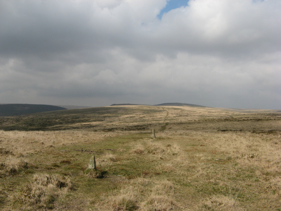
Photo taken on 13-04-2019
Database entries
PDW coverage: Dartmoor Walk: The Erme East stone rows
OS Map: SX 65629 58814
OS Source: SRGB
HER: MDV2988
Megalithic Portal: 556
The Stone Rows of GB: Butterdon Hill
PMD: Butterdon Stone Row
Alternate name: Butterdon Hill Row
Short Name: SR Butterdon
Butler map: 53.8
DPD page: 77
Exist: Yes
Record: Unique
Record Source: PDW
Hut Class: No
Dimensions (m): 1973
Lidar: SX 65629 58814
Guide Map: 58
Nearest Bus Stop: Ivybridge BP Garage (Stop B) (4.3 km) [Route: 38]
Nearby sites: SX 65629 58814
Notes
"The northern part of the Butterdon stone row has been surveyed from Hangershell Rocks cairn at SX 65645941 to Hobajons Cross at SX 65506045." and "For the 1050m of this part the majority of the several hundred stones are from 0.1m to 0.4m high and form an irregular line. There is a gap of 70.0m on the north side of Hangershell but otherwise the row is fairly continuous. The area is not entirely free of natural surface stones and while some can be immediately discounted occasionally there is a short double or triple row where all the stones are alike and these which formed the original row cannot now be determined. Barely two dozen stones are 0.5m high or higher, Hobajons Cross at 1.2m being the highest. It is possible that this was at some stage a terminal stone since it appears to have cup marks on the south face and the extension onwards, to the Longstone, is on an entirely different alignment." Lethbridge Row 1 diagram p.77.References
These are selected references with an emphasis on out of copyright sources linked as PDFs. For more detailed references try any linked HER or PMD record above.
- Bate, C Spence, Researches into Some Antient Tumuli on Dartmoor, T.D.A. Vol.5 pp.549-58 (1872)
- Brailsford, J. W, Bronze Age Stone Monuments of Dartmoor, Antiquity Volume 12, Number 48 pp.444-63 (1938)
- Butler, Jeremy, Dartmoor Atlas of Antiquities, vol.4: The South-East, (1993)
- Crossing, William, Guide to Dartmoor, (2001)
- Laskey, John and Andrews, John, Three Days Excursion on Dartmoor, Gentlemans Magazine Library, English Topology Part 3 (1893)
- Lethbridge, William D., Discover Preshistoric Dartmoor, (2015)
- Worth, R. Hansford, Retaining circles associated with stone rows Dartmoor, T.D.A. Vol.73 pp.227-38 (1941)
- Worth, R. Hansford, Dartmoor: 1788-1808, T.D.A. Vol.73 pp.203-226 (1941)
- Worth, R. Hansford, The Stone Rows of Dartmoor Part 1, T.D.A. Vol.78 pp.285-316 (1946)
- Worth, R.N., The Stone Rows of Dartmoor - Part 1, T.D.A. Vol.24 pp.387-417 (1892)