
Rippon Tor 3 Reported Cist
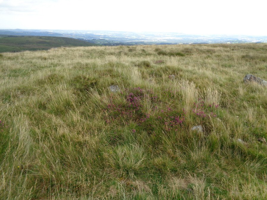
Photo taken on 26-08-2017
Database entries
OS Map: SX 74698 75537
OS Source: Garmin
Butler OS: SX74737549
HER: MDV7434
PMD: Rippon Tor Summit
Alternate name: Rippon Tor 3
Short Name: CN RipponTor 3
Butler map: 5.5.3
Grinsell: ILSINGTON 2
Exist: Yes
Record: Unique
Record Source: Butler
Hut Class: No
Cist Class: Maybe
Cairn Class: Yes
Dimensions (m): 6.8 x 0.4
Lidar: SX 74698 75537
Guide Map: 37
Nearest Bus Stop (Minor): Haytor Vale Moorlands House (3.5 km) [Route: 193,271]
Nearest Bus Stop (Major): Lemonford Caravan Park (5.6 km) [Route: 38,193]
Nearby sites: SX 74698 75537
Notes
NMR Cairn 'B' at SX 7474 7547 has been considerably mutilated in the eastern quadrant where it is barely 0.5m. high; otherwise it is up to 3.0m. high. Butler states "Composed of small stones except for a large slab lying at the edge, this is probably the site of the cist referred to by Crossing as almost covered by turf, though he makes no mention of the cairn.References
These are selected references with an emphasis on out of copyright sources linked as PDFs. For more detailed references try any linked HER or PMD record above.
- Butler, Jeremy, Dartmoor Atlas of Antiquities, vol.1: The East, (1991)
- Crossing, William, Guide to Dartmoor, (2001)
- Grinsell, L.V., Dartmoor Barrows, Devon Archaeological Society Proceedings No.36 (1978)
- Newman, Phil, Rippon Tor Premier Archaeological Landscape, Dartmoor National Park, Devon, Southwest Landscape Investigations (2015)
- Wall, J. Charles, Ancient Earthworks, The Victoria History of the County of Devon: v. 1 pp.573-630 (1906)
- Wilkinson J. Gardner, British Remains on Dartmoor, Journal Brit. Arch. Assoc. xviii. pp.22-53, 111-133. (1862)