
Burford Down Stone Row
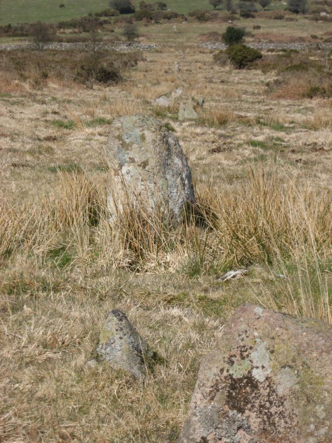
Photo taken on 19-03-2011
Database entries
PDW coverage: Dartmoor Site: Burford Down stone row and cairns
OS Map: SX 63695 60165
OS Source: SRGB
HER: MDV4333
Megalithic Portal: 1463
The Stone Rows of GB: Burford Down
PMD: Burford Down Stone Row
Alternate name: Burford Down
Short Name: SR BurfordDown
Butler map: 54.17
DPD page: 70
Exist: Yes
Record: Unique
Record Source: PDW
Hut Class: No
Barrow Report: 14 40
Dimensions (m): 508
Lidar: SX 63695 60165
Guide Map: 56
Nearest Bus Stop: Cornwood Crossways (4.3 km) [Route: 59]
Nearby sites: SX 63695 60165
Notes
"This single stone row on a slight north slope extends from a crest at 260m OD to a col at 255m OD. It can be traced from its south terminal, marked by a cairn, at SX 63706017 for 336m, bearing 1o, to a possible blocking stone at SX 63706051 and of different character for a further 120m to SX63706062. The recumbent stone, considered ... to be the north terminal lies yet a further 47m distant at SX 63706067." See also: Sea Views at Burford DownReferences
These are selected references with an emphasis on out of copyright sources linked as PDFs. For more detailed references try any linked HER or PMD record above.
- Butler, Jeremy, Dartmoor Atlas of Antiquities, vol.4: The South-East, (1993)
- Davidson, C. & Seabrook, R., Stone rings on south-east Dartmoor, D.A.S.P. No.31 (1973)
- Emmett, D.D., Stone rows: the traditional view reconsidered, D.A.S.P. No.37 pp.94-114 (1979)
- Hankin, C. F., An archaeological check-list for Harford, Devon Archaeological Society/DCRA publications no.11 (1982)
- Lethbridge, William D., Discover Preshistoric Dartmoor, (2015)
- Parsons, Hamlyn, Investigations into the Burford Down Stone Row, D.A.S.P. No.85 pp.145-147 (1953)
- Worth, R. Hansford, The Erme, Yealm and Torry part 1, T.P.I. Vol.11 part 1 pp.173-183 (1892)
- Worth, R. Hansford, Replies to Falcon on Various Issues, Devon and Cornwall Notes and Queries Vol 4 pp.10-13 (1907)
- Worth, R. Hansford, Barrow Report 40, T.D.A. Vol.53 (1921)
- Worth, R. Hansford, The Stone Rows of Dartmoor Part 1, T.D.A. Vol.78 pp.285-316 (1946)
- Worth, R.N., Barrow Report 14, T.D.A. Vol.24 (1892)