
Addicombe 4 Reported Cairn
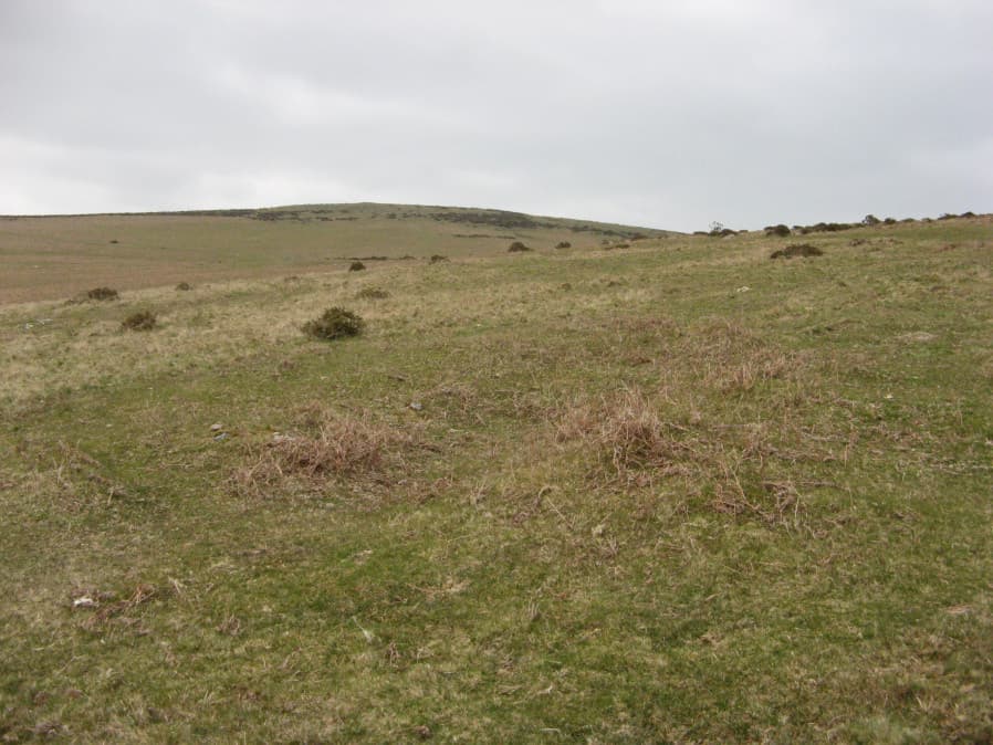
Photo taken on 13-04-2019
Database entries
OS Map: SX 64943 58109
OS Source: Garmin
Alternate name: Addicombe 4
Short Name: CN Addicombe4
Butler map: 53.1
Exist: Yes
Record: Unique
Record Source: PDW
Cairn Class: Maybe
Dimensions (m): 14 x 0.3
Lidar: SX 64943 58109
Nearest Bus Stop: Ivybridge BP Garage (Stop B) (2.3 km) [Route: 38]
Nearby sites: SX 64943 58109
Notes
The author was looking for Addicombe 1 and encountered this which looks like a very dilapidated cairn that is much larger. There are no records of it. There are a number of mounds in the vicinity which are the result of the construction of the Red Lake tramway but this is quite a bit downhill from there and seems unlikely to be one of those. The Addicombe 1 cairn is around 3 metres across. This is considerably larger,more like 12 metres (estimate from memory - not a measurement). The area is covered in Butler Map 53.1References
These are selected references with an emphasis on out of copyright sources linked as PDFs. For more detailed references try any linked HER or PMD record above.
- Butler, Jeremy, Dartmoor Atlas of Antiquities, vol.4: The South-East, (1993)