
Spurrell's Cross Stone Row
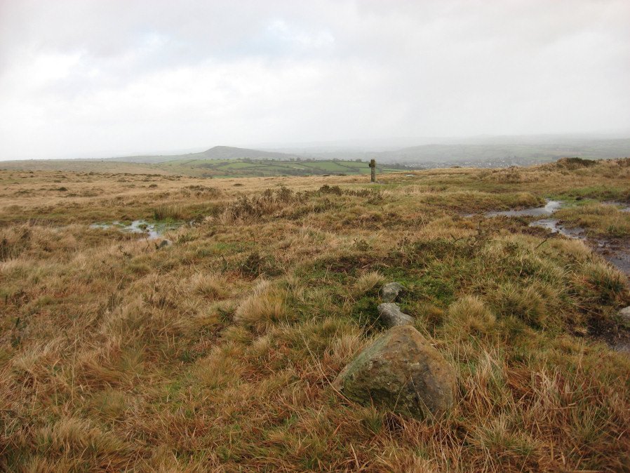
Photo taken on 12-01-2016

Photo montage of 3 of the stones of the row (25-11-2025)
Database entries
PDW coverage: Dartmoor Walk: The Erme East stone rows
OS Map: SX 65860 59862
OS Source: Garm
HER: MDV2890
Megalithic Portal: 2137
The Stone Rows of GB: Spurrells Cross
PMD: Spurrells Cross Stone Row
Alternate name: Spurrell's Cross
Short Name: SR Spurrells X
Butler map: 53.10
DPD page: 78
Exist: Yes
Record: Unique
Record Source: PDW
Hut Class: No
Dimensions (m): 119
Lidar: SX 65860 59862
Guide Map: 58
Nearest Bus Stop: Ivybridge BP Garage (Stop B) (5.6 km) [Route: 38]
Nearby sites: SX 65860 59862
Notes
"The row has apparently been double, but since only seven stones still stand, which together with six sunken stones form the fixed points now determinable, it is difficult to ascertain the original spacing. The lines were probably about 3 feet 6 inches apart and the spacing between the stones about 3 feet. The length of the row is 370 feet as measured from the centre of the cairn and the direction of length is N 20o W. The largest standing stone is 2 feet in height. The cairn, at the south end of the row is 50 feet in diameter with only two stones remaining of the retaining circle". Lethbridge p.78, diagram p.77 Row 3. The photo here is most probably not of the row. The row runs parallel to Butterdon row and does not orientate on Spurrel's Cross.References
These are selected references with an emphasis on out of copyright sources linked as PDFs. For more detailed references try any linked HER or PMD record above.
- Butler, Jeremy, Dartmoor Atlas of Antiquities, vol.4: The South-East, (1993)
- Crossing, William, The ancient stone crosses of Dartmoor and its borderland, (1902)
- Lethbridge, William D., Discover Preshistoric Dartmoor, (2015)
- Worth, R. Hansford, The Stone Rows of Dartmoor - Part 8, T.D.A. Vol.40 pp.281-2 (1908)
- Worth, R. Hansford, The Stone Rows of Dartmoor Part 1, T.D.A. Vol.78 pp.285-316 (1946)