
Riddon Ridge N. Reported Cairn
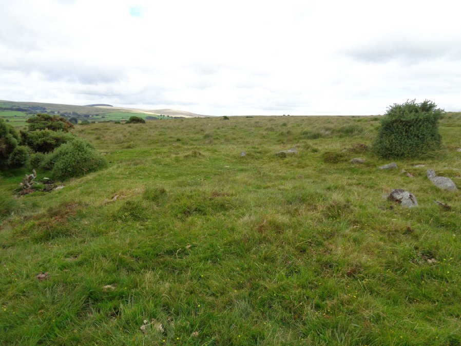
Photo taken on 12-08-2017
Database entries
OS Map: SX 66060 76860
OS Source: Garmin
HER: MDV64234
Alternate name: Riddon Ridge N.
Short Name: CN Riddon Ri5
Butler map: 18.1.24
Exist: Yes
Record: Unique
Record Source: Butler
Hut Class: Yes
Cairn Class: Maybe
Dimensions (m): c.8.0 x 0.4
Lidar: SX 66060 76860
Nearest Bus Stop: Postbridge Bellever (0.7 km) [Route: 98]
Nearby sites: SX 66060 76860
Notes
Listed by Butler as a cairn. This site is in an area of hut circles and is perhaps more likely a hut circle.References
These are selected references with an emphasis on out of copyright sources linked as PDFs. For more detailed references try any linked HER or PMD record above.
- Butler, Jeremy, Dartmoor Atlas of Antiquities, vol.1: The East, (1991)