
Riddon Corner Reported Cairn
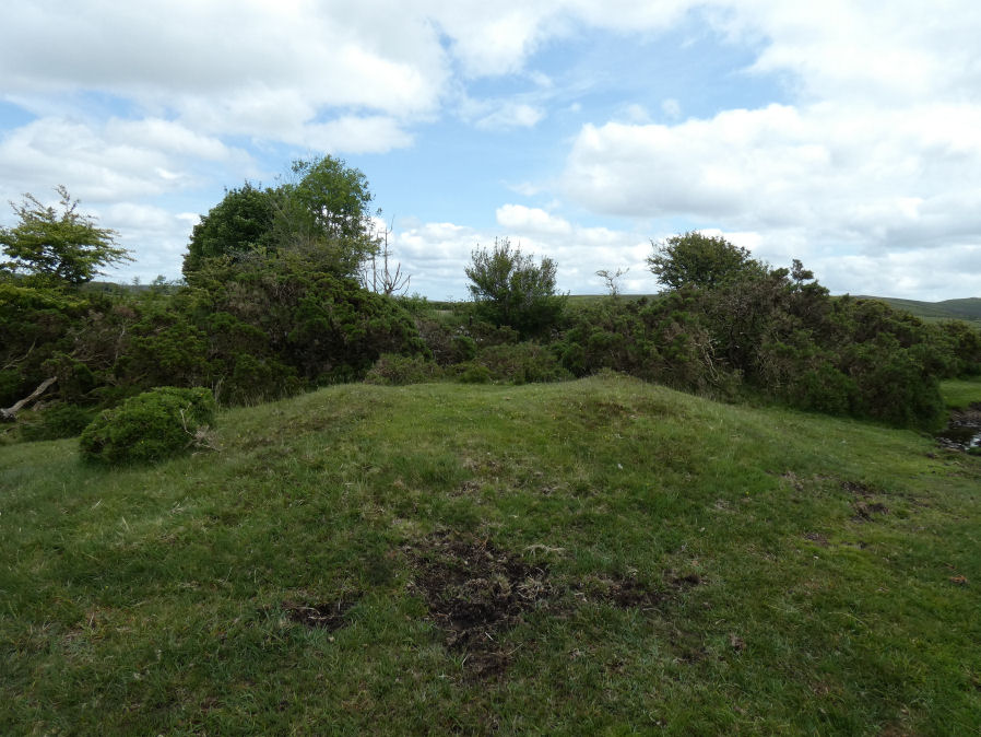
Photo taken on 06-06-2025
Database entries
OS Map: SX 6714 7636
OS Source: Butler
Butler OS: SX67147636
HER: MDV64234
Alternate name: Riddon Corner
Short Name: CN?Riddon 2
Butler map: 18.2.7
Exist: Yes
Record: Unique
Record Source: Butler
Hut Class: No
Cairn Class: Maybe
Dimensions (m): 8.0 x 1.0
Lidar: SX 6714 7636
Guide Map: 35
Nearest Bus Stop: Postbridge Bellever (2.5 km) [Route: 98]
Nearby sites: SX 6714 7636
Notes
Butler: The cairn at 7 (8.0 x 1.0 m), 5 m from the field wall and close to a reave, is probably prehistoric. A slight depression in its flat suface suggests it has been dug and a track cutting across the eastern edge has also caused some slight damage. A pile of stones in a similiar relationship to the next reave to the south is more likely to be clearance from the field.HER entry: A turf-covered mound measuring 8.2 by 7.2 by 0.7 metres high. The mound bears some indications of disturbance. It is uncertain whether it is a barrow or the result of more recent field clearance.. Possibly visible on Lidar.
References
These are selected references with an emphasis on out of copyright sources linked as PDFs. For more detailed references try any linked HER or PMD record above.
- Butler, Jeremy, Dartmoor Atlas of Antiquities, vol.1: The East, (1991)