
Hamel Down S.E.2 Cairn
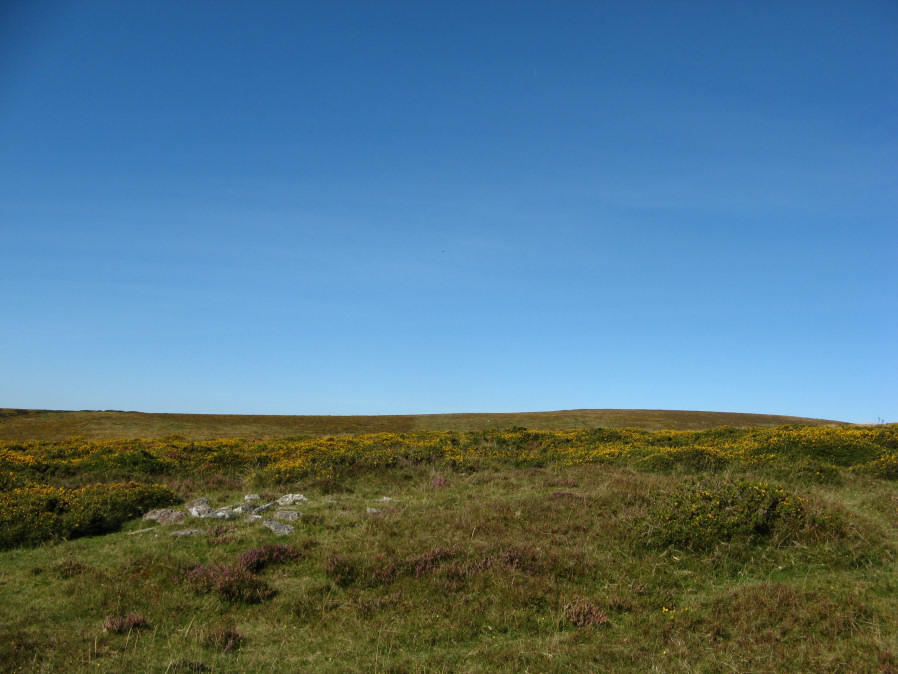
Photo taken on 14-09-2019
Database entries
OS Map: SX 71474 78507
OS Source: Google
Butler OS: SX71477850
HER: MDV7522
Alternate name: Hamel Down S.E.2
Short Name: CN Hamel SE2
Butler map: 20.14.2
Grinsell: WIDECOMBE IN THE MOOR 9
Exist: Yes
Record: Unique
Record Source: Butler
Hut Class: No
Cairn Class: Yes
Dimensions (m): 10.0 x 0.3
Lidar: SX 71474 78507
Guide Map: 29
Nearest Bus Stop (Minor): Widecombe in the Moor Car Park (2.2 km) [Route: 271]
Nearest Bus Stop (Major): Postbridge Bellever (6.1 km) [Route: 98]
Nearby sites: SX 71474 78507
Notes
NMR B "Cairn on Hamel Down with diameter 10 metres by 0.3 metres high in poor condition with a trench driven across the centre." Some stones exposed or heaped on one side of the cairn.References
These are selected references with an emphasis on out of copyright sources linked as PDFs. For more detailed references try any linked HER or PMD record above.
- Butler, Jeremy, Dartmoor Atlas of Antiquities, vol.1: The East, (1991)
- Grinsell, L.V., Dartmoor Barrows, Devon Archaeological Society Proceedings No.36 (1978)