
Merrivale Bridge N. Reported Cairn
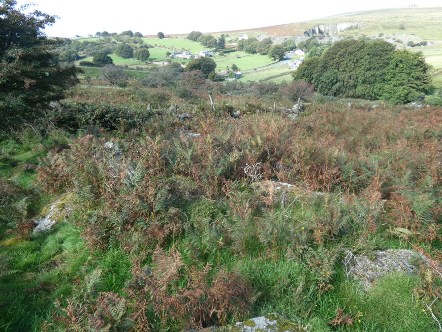
Photo taken on 09-09-2023
Database entries
OS Map: SX 55256 75145
OS Source: Garmin
HER: MDV28518
Alternate name: Merrivale Bridge N.
Short Name: CN Merrivale7
Butler map: 30.7
Exist: Yes
Record: Unique
Record Source: Butler
Hut Class: Yes
Cairn Class: Maybe
Dimensions (m): 5.0 x 0.3
Lidar: SX 55256 75145
Nearest Bus Stop: Merrivale Dartmoor Inn (0.4 km) [Route: 98,171,172]
Nearby sites: SX 55256 75145
Notes
Cairn or hut? "Recorded by Ordnance Survey (1979) as a hut, but Gerrard (1999) suggests it is a cairn. Feature measures 5.7 metres in diameter, height 0.6 metres. Kerb visible in places. Large numbers of rocks with quartz in them. Cairn lies 6 metres from field wall, which appears to kink around it." Visited 09/09/23 - a bit of a jumble of stones covered in vegetation. Identification of correct site not 100% certain but fits with mutilated cairn.References
These are selected references with an emphasis on out of copyright sources linked as PDFs. For more detailed references try any linked HER or PMD record above.
- Butler, Jeremy, Dartmoor Atlas of Antiquities, vol.2: The North, (1991)