
Cudlipptown Down 1 Cairn
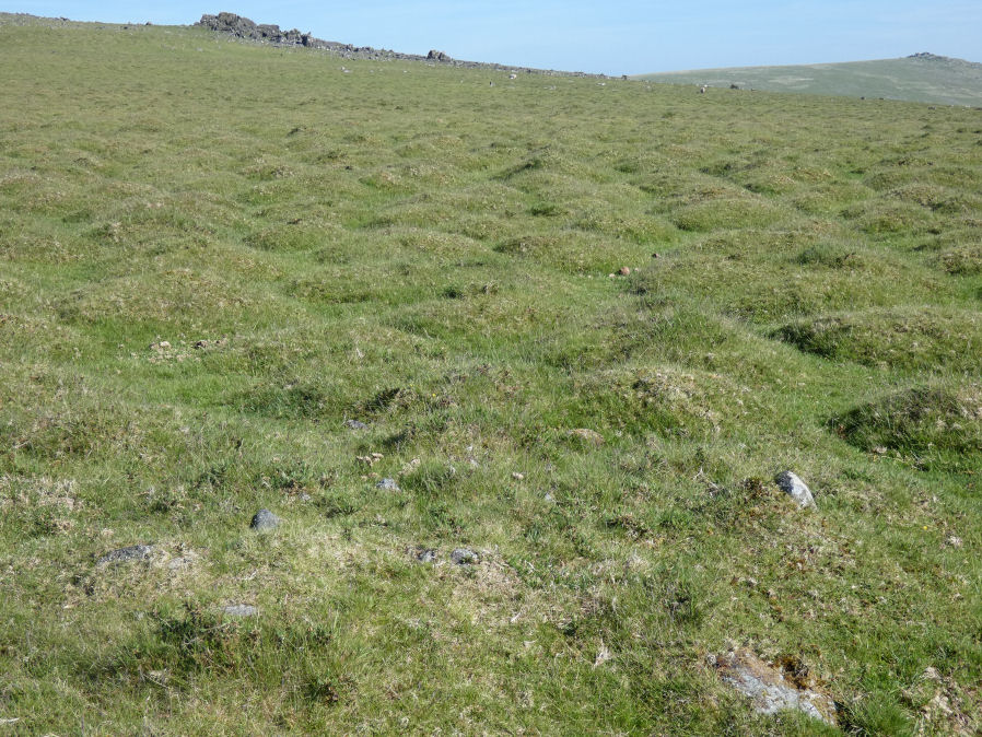
Photo taken on 27-05-2022
Database entries
OS Map: SX 53524 79061
OS Source: Garmin
Butler OS: SX53517904
HER: MDV56602
Alternate name: Cudlipptown Down 1
Short Name: CN Cudlipp 1
Butler map: 31.16.1
Exist: Yes
Record: Unique
Record Source: Butler
Hut Class: No
Cairn Class: Yes
Dimensions (m): 3.0 x 0.2
Lidar: SX 53524 79061
Guide Map: 24
Nearest Bus Stop: Mary Tavy War Memorial (4.3 km) [Route: 118]
Nearby sites: SX 53524 79061
Notes
Cairn is in foreground of photo. NMR C - Butler lists 2 cairns NMR Lists 4. "4 small cairns situated on a slight slope, on the line of a parallel reave, on cudlipptown down. Their origin and function are obscure but they appear to post-date the reave." ... "'a' sx53387898.2m by 1.6m wide, 0.3m high. Partly turf-covered small and medium-size stones forming a low, near circular cairn. 'b' sx53497904.5.6m by 5m wide, 0.4m high. A roundish, flat-topped cairn of small-medium sized, partly turf-covered stones. There appears to be some disturbance, possibly a narrow trench, running from the cairn centre to the n edge. 'c' sx53517905.3.1m diam, 0.35m high. Otherwise very similar to 'b'. 'd' sx53557907.2m diam by 0.3m high (nmr, citing pattison)."Cairn A SX 53380 78980 (2m x 1.6m)
Cairn B SX 53490 79040 (5.6 x 5 x 0.4m)
Cairn C SX 53510 79050 (3.1 x 0.35m)
Cairn D SX 53550 79070
References
These are selected references with an emphasis on out of copyright sources linked as PDFs. For more detailed references try any linked HER or PMD record above.
- Butler, Jeremy, Dartmoor Atlas of Antiquities, vol.2: The North, (1991)