
White Tor S.S.E.2 Cairn
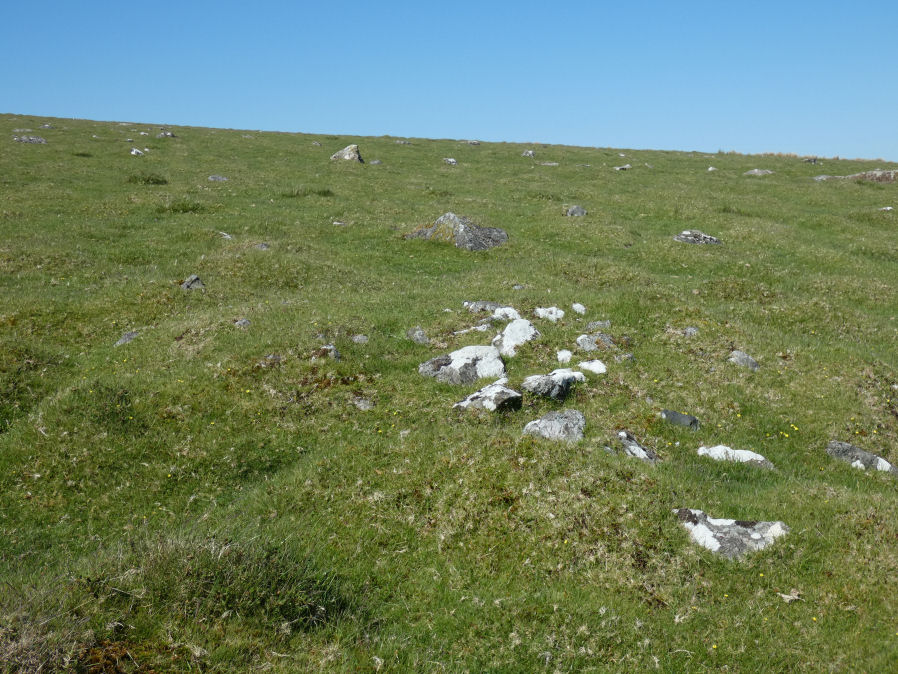
Photo taken on 27-05-2022
Database entries
OS Map: SX 54356 78359
OS Source: Google
HER: MDV4181
Alternate name: White Tor S.S.E.2
Short Name: CN White SSE2
Butler map: 31.20.2
Grinsell: PETER TAVY 32
Exist: Yes
Record: Unique
Record Source: Butler
Cairn Class: Yes
Dimensions (m): 4.8 x 0.4
Lidar: SX 54356 78359
Nearest Bus Stop: Merrivale Dartmoor Inn (3.2 km) [Route: 98,171,172]
Nearby sites: SX 54356 78359
Notes
"Southernmost cairn of a group of three partially excavated by the Dartmoor Exploration Committee in 1899. This cairn measures 4.7 metres in diameter and is 0.5 metres high. Has a central hollow indicating the location of the earlier partial excavation. Forms part of a widely dispersed group of at least fourteen cairns on the southern and eastern slopes of White Tor" NMR C - see also 439759. See also DEC Report 6 1899.References
These are selected references with an emphasis on out of copyright sources linked as PDFs. For more detailed references try any linked HER or PMD record above.
- Baring-Gould, Sabine, Sixth Report of the Dartmoor Exploration Committee, T.D.A. Vol.31 pp.146-155 (1899)
- Butler, Jeremy, Dartmoor Atlas of Antiquities, vol.2: The North, (1991)
- Grinsell, L.V., Dartmoor Barrows, Devon Archaeological Society Proceedings No.36 (1978)
- Newman, Phil, The Langstone Moor Stone Circle, Peter Tavy, Devon and its Prehistoric Environs, English Heritage (2003)