
White Tor S.S.E.3 Cairn
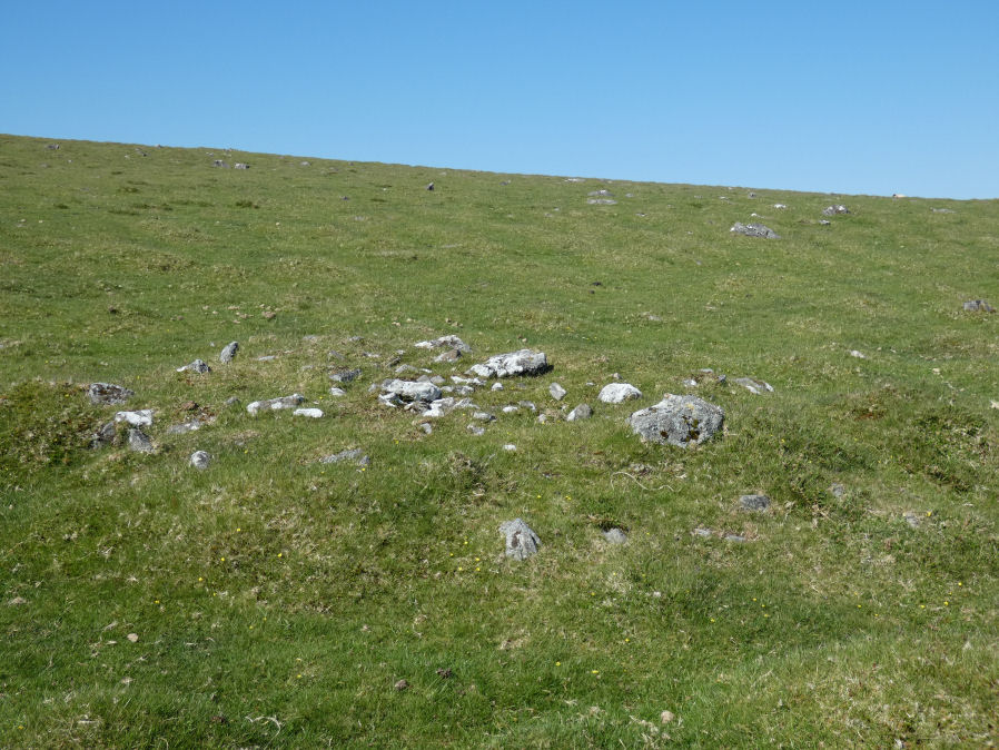
Photo taken on 27-05-2022
Database entries
OS Map: SX 54355 78379
OS Source: Google
HER: MDV4180
Alternate name: White Tor S.S.E.3
Short Name: CN White SSE3
Butler map: 31.20.3
Grinsell: PETER TAVY 31
Exist: Yes
Record: Unique
Record Source: Butler
Cairn Class: Yes
Dimensions (m): 4.5 x 0.4
Lidar: SX 54355 78379
Nearest Bus Stop: Merrivale Dartmoor Inn (3.2 km) [Route: 98,171,172]
Nearby sites: SX 54355 78379
Notes
"Northernmost cairn of a group of three. Measures 4.6 metres in diameter and stands up to 0.5 metres high. Partially excavated by the Dartmoor Exploration Committee in 1899 and this work revealed central pits containing ashes, charcoal and flints. Centre of the mound contains a hollow indicating the location of the earlier partial excavation. Forms part of a widely dispersed group of at least fourteen cairns on the southern and eastern slopes of White Tor." NMR B - see also 439759. See also DEC Report 6 1899.References
These are selected references with an emphasis on out of copyright sources linked as PDFs. For more detailed references try any linked HER or PMD record above.
- Baring-Gould, Sabine, Sixth Report of the Dartmoor Exploration Committee, T.D.A. Vol.31 pp.146-155 (1899)
- Baring-Gould, Sabine, Tenth Report of the Dartmoor Exploration Committee, T.D.A. Vol.37 pp.141-145 (1905)
- Butler, Jeremy, Dartmoor Atlas of Antiquities, vol.2: The North, (1991)
- Grinsell, L.V., Dartmoor Barrows, Devon Archaeological Society Proceedings No.36 (1978)
- Newman, Phil, The Langstone Moor Stone Circle, Peter Tavy, Devon and its Prehistoric Environs, English Heritage (2003)