
White Tor S.S.W.2 Cairn
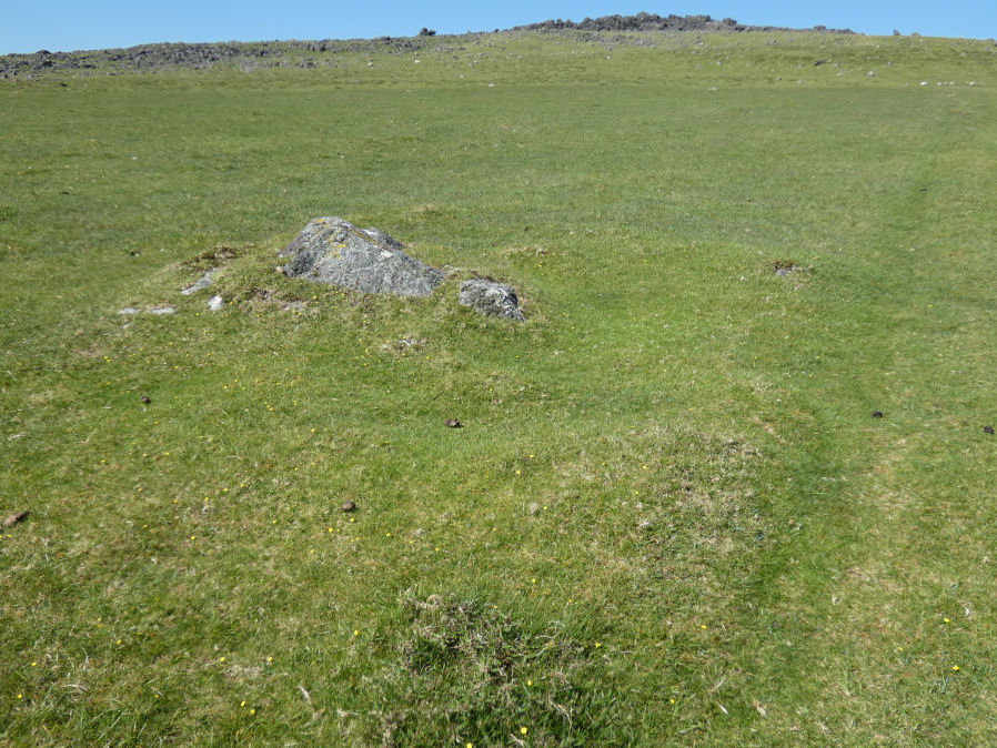
Photo taken on 27-05-2022
Database entries
OS Map: SX 54038 78328
OS Source: Garmin
HER: MDV4179
Alternate name: White Tor S.S.W.2
Short Name: CN White SSW2
Butler map: 31.21.2
Grinsell: PETER TAVY 29
Exist: Yes
Record: Unique
Record Source: Butler
Cairn Class: Yes
Dimensions (m): c.5.0 x 0.2
Lidar: SX 54038 78328
Nearest Bus Stop: Merrivale Dartmoor Inn (3.3 km) [Route: 98,171,172]
Nearby sites: SX 54038 78328
Notes
The Dartmoor Exploration Committee (Report 6 1899) describes investigating 3 cairns in this location. The damaged remains are difficult today to interpret. Many authors suggest that the long cairn consists of two or more of these cairns. The current author visited this location on 27th May 2022 with just the knowledge that there were 3 reported cairns. I photographed a very likely cairn, namely, the long cairn (Butler 1). A semi-circular bank (Butler 3) and a faint mound around a natural rock (Butler 2). I noted at the time of the visit that both 2 and 3 are possible but doubtful cairns. I did not have the Butler account with me at the time I photographed and logged these. Looking now at Butler's account it looks like he reached the same conclusions and the entries here follow Butler with similar doubt on Butler 2 and Butler 3.This entry looked very doubtful in the field but looking again at the photograph a faint much bigger possible circular mound is apparent and consistent with a possible cairn. See also entries for Butler 1-3 (entries SiteIDs 1197, 1198, 1199).
References
These are selected references with an emphasis on out of copyright sources linked as PDFs. For more detailed references try any linked HER or PMD record above.
- Baring-Gould, Sabine, Sixth Report of the Dartmoor Exploration Committee, T.D.A. Vol.31 pp.146-155 (1899)
- Butler, Jeremy, Dartmoor Atlas of Antiquities, vol.2: The North, (1991)
- Grinsell, L.V., Dartmoor Barrows, Devon Archaeological Society Proceedings No.36 (1978)