
White Ridge S.W. Cairn
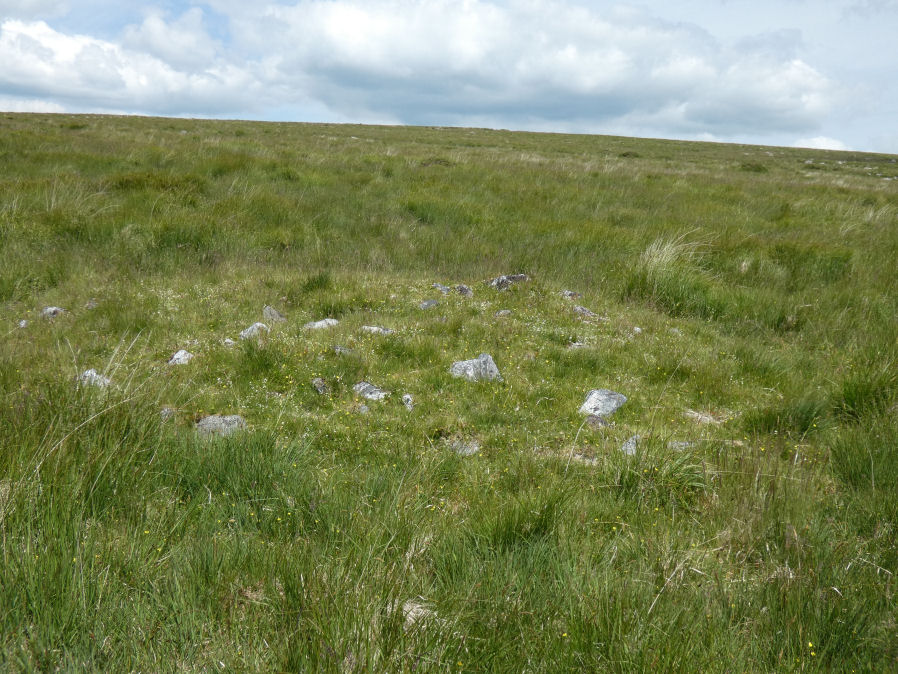
Photo taken on 20-06-2024
Database entries
OS Map: SX 6414 8160
OS Source: Garmin
Butler OS: SX64148160
HER: MDV6770
Alternate name: White Ridge S.W.
Short Name: CN WhiteRid SW
Butler map: 35.11
Grinsell: LYDFORD 19
Exist: Yes
Record: Unique
Record Source: Butler
Hut Class: No
Cairn Class: Yes
Dimensions (m): 6.5 x 0.4
Lidar: SX 6414 8160
Guide Map: 26
Nearest Bus Stop: Postbridge Post Office (3.6 km) [Route: 98,171]
Nearby sites: SX 6414 8160
Notes
Round cairn lying immediately west of an enclosed stone hut circle settlement in Great Stannon newtake (SX64158160). Diameter 7.2 metres, height 0. 9 metres. Kerb. Robbed. Central pit 2.2 metres by 0.8 metres by 0.1 metres deep. Grass covered mound with some edge set stones on the west side which may represent the remnants of a kerb. The orientation of the central pit is 123 degrees. Large number of stones protruding from the mound, many of which have quartz in them.References
These are selected references with an emphasis on out of copyright sources linked as PDFs. For more detailed references try any linked HER or PMD record above.
- Butler, Jeremy, Dartmoor Atlas of Antiquities, vol.2: The North, (1991)
- Grinsell, L.V., Dartmoor Barrows, Devon Archaeological Society Proceedings No.36 (1978)