
Stannon Newtake W. Cairn
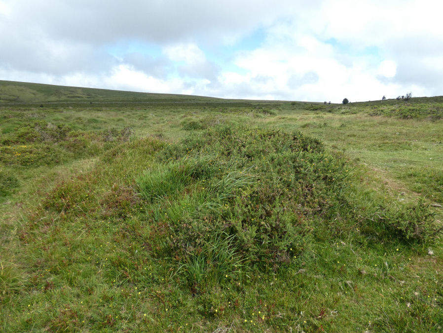
Photo taken on 18-07-2025
Database entries
OS Map: SX 6533 8108
OS Source: HER
Butler OS: SX65318111
HER: MDV6657
Alternate name: Stannon Newtake W.
Short Name: CN Stannon 2
Butler map: 35.21.2
Grinsell: LYDFORD 28
Exist: Yes
Record: Unique
Record Source: Butler
Hut Class: No
Cairn Class: Yes
Barrow Report: 15
Dimensions (m): 6.0 x 0.7
Lidar: SX 6533 8108
Guide Map: 27
Nearest Bus Stop: Warren House Inn (2.7 km) [Route: 171]
Nearby sites: SX 6533 8108
Notes
Cairn a short distance to the north of the northernmost coaxial field boundary. The cairn survives as a 6.5m diameter mound up to 0.6m high. A central hollow is the result of excavation in 1896 which revealed a pit containing charcoal, burnt bone and a flint flake. A group of four edge set stones up to 1m high to the southeast are the remains of a stone alignment.References
These are selected references with an emphasis on out of copyright sources linked as PDFs. For more detailed references try any linked HER or PMD record above.
- Burnard, Robert, Early Man, The Victoria History of the County of Devon: v. 1 (1906)
- Butler, Jeremy, Dartmoor Atlas of Antiquities, vol.2: The North, (1991)
- Grinsell, L.V., Dartmoor Barrows, Devon Archaeological Society Proceedings No.36 (1978)
- Worth, R. Hansford, Barrow Report 21, T.D.A. Vol.34 pp.104- 146 (1902)
- Worth, R.N., Barrow Report 15, T.D.A. Vol.28 (1896)