
Devils Tor 1 Reported Cairn
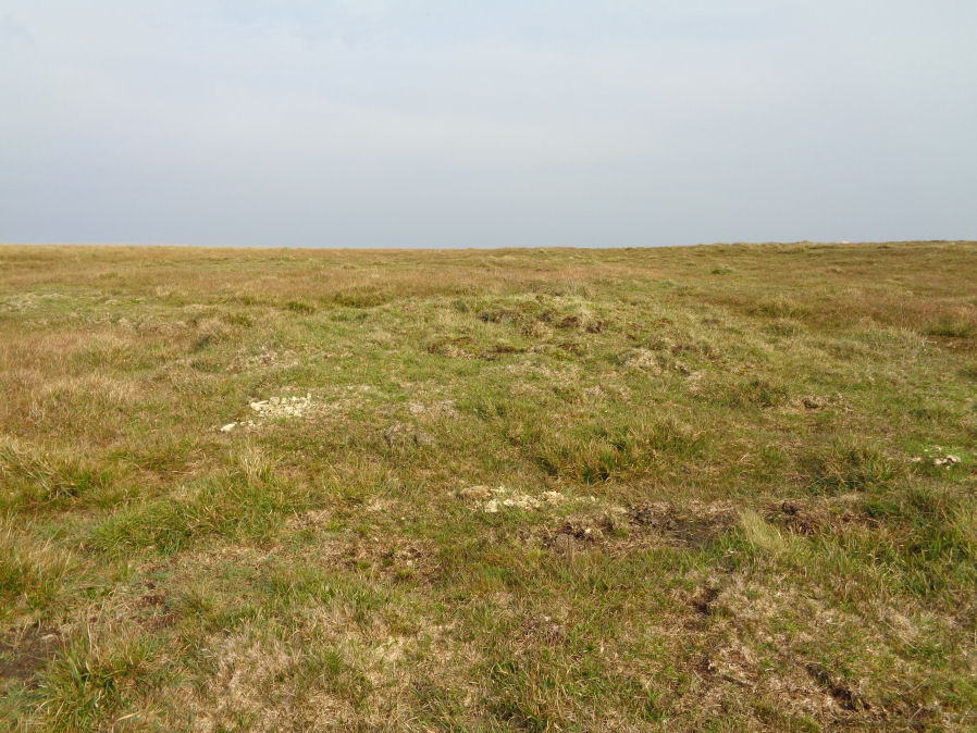
Photo taken on 15-09-2020

The Dartmoor Menhirs, T.D.A. Vol.72 (1940) pp.191-192
Database entries
OS Map: SX 59630 79497
OS Source: Garmin
Alternate name: Devils Tor 1
Short Name: CN DevilsTor 1
Exist: Yes
Record: Unique
Record Source: PDW
Hut Class: No
Cairn Class: Yes
Lidar: SX 59630 79497
Guide Map: 25
Nearest Bus Stop: Powder Mills (5.7 km) [Route: 171]
Nearby sites: SX 59630 79497
Notes
The author found this walking south from the Beardown man standing stone on 15/09/20. It is quite clearly a cairn although whether or not it is prehistoric is another matter. There does not seem to be much evidence of clearance taking place in this area which would suggest a prehistoric cairn. There are no records in the HER except to a site further south, see siteid=4005 Devil's Tor. The cairn is approx 4-5 metres across as judged by eye - no precise measurement was taken. The HER record MDV131162 (see also MDV4217) relates to a cairn reported by Worth in 1940 (HER says 1948) - maybe this is it. The NMR record SX 57 NE 2 refers to confusion to two reported sites south of Beardown Man (presumably MDV131162 and MDV4217) - but neither grid reference is satisfactorly close although likely that is a problem with the grid references.The author thinks it likely that this is Worth's cairn. However, Worth (1940) states that it is a cairn some two hundred and seventy yards to the south of Beardown Man. This is about half that distance from the standing stone (around 100 metres further north) but Worth could have over estimated the distance! This could be the true location of MDV131162 but currently we have that associated with a different feature 100 metres to the south, see Devils Tor 2 Reported Cairn
References
These are selected references with an emphasis on out of copyright sources linked as PDFs. For more detailed references try any linked HER or PMD record above.
- Worth, R. Hansford, The Dartmoor Menhirs, T.D.A. Vol.72 pp.191-200 (1940)