
Langstone Moor Stone Row
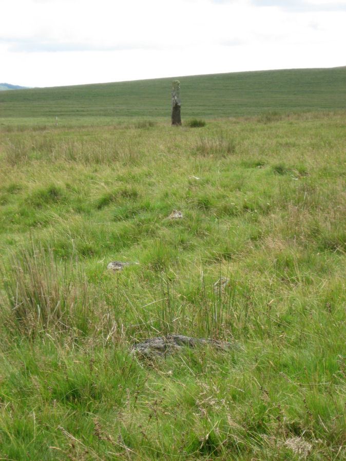
Photo taken on 19-07-2015
Database entries
PDW coverage: Dartmoor Site: Langstone Moor Stone Circle, Stone Row & Settlements
OS Map: SX 55022 78851
OS Source: SRGB
HER: MDV4223
Megalithic Portal: 2016
The Stone Rows of GB: Langstone Moor
PMD: Langstone Moor I Stone Row
Alternate name: Langstone Moor
Short Name: SR Langstone
Butler map: 30.12
DPD page: 14
Exist: Yes
Record: Unique
Record Source: PDW
Hut Class: No
Dimensions (m): 118
Lidar: SX 55022 78851
Guide Map: 24
Nearest Bus Stop: Merrivale Dartmoor Inn (4.8 km) [Route: 98,171,172]
Nearby sites: SX 55022 78851
Notes
"A single stone row stands on Launceston (Langstone). Moor circa 330 feet in length, probably longer when complete. There are now only 18 stones, the largest of which stands only 18 inches above ground. At the north end are the remains of a barrow, now reduced to little more than a rubble ring. At the south end is the standing stone known as the 'Langstone', from which the moor probably takes its name. The stone was re-erected in 1893 and stands to a height of 9 feet 3 inches." Lethbridge p14, diagram p13. Breton (p.17): The Langstone was formerly the end of a stone row, composed of quite small stones, running in a direction N. and S. from a pool that occupies the site of a destroyed cairn.References
These are selected references with an emphasis on out of copyright sources linked as PDFs. For more detailed references try any linked HER or PMD record above.
- Baring-Gould, Sabine, Dartmoor Menhirs - Seventeenth Report of the Committee on Scientific Memoranda, T.D.A. Vol.25 p.172 (1893)
- Baring-Gould, Sabine, Second Report of the Dartmoor Exploration Committee, T.D.A. Vol.27 pp.81-92 (1895)
- Baring-Gould, Sabine, Sixth Report of the Dartmoor Exploration Committee, T.D.A. Vol.31 pp.146-155 (1899)
- Breton, Henry Hugh, The Heart of Dartmoor, (1926)
- Butler, Jeremy, Dartmoor Atlas of Antiquities, vol.2: The North, (1991)
- Emmett, D.D., Stone rows: the traditional view reconsidered, D.A.S.P. No.37 pp.94-114 (1979)
- Gerrard, Sandy, English Heritage Book of Dartmoor: Landscapes Through Time, (1997)
- Lethbridge, William D., Discover Preshistoric Dartmoor, (2015)
- Newman, Phil, The Langstone Moor Stone Circle, Peter Tavy, Devon and its Prehistoric Environs, English Heritage (2003)
- Newman, Phil, Archaeological Sites within Merrivale Training Area, Southwest Landscape Investigations (2018)
- Worth, R. Hansford, The Stone Rows of Dartmoor Part 1, T.D.A. Vol.78 pp.285-316 (1946)
- Worth, R.N., The Stone Rows of Dartmoor - Part 2, T.D.A. Vol.25 pp.541-546 (1893)
- Worth, R.N., The Stone Rows of Dartmoor - Part 3, T.D.A. Vol.26 pp.296-307 (1894)