
Kennon Hill S.W.1 Cairn
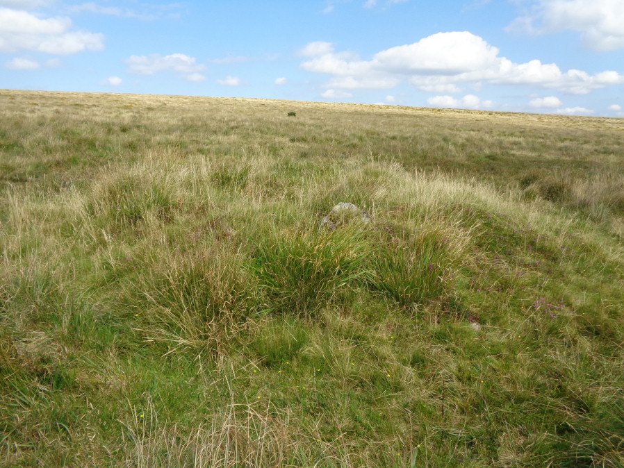
Photo taken on 27-08-2017
Database entries
OS Map: SX 63916 88974
OS Source: Garmin
HER: MDV19463
Alternate name: Kennon Hill S.W.1
Short Name: CN Kennon SW1
Butler map: 41.1
Exist: Yes
Record: Unique
Record Source: Butler
Cairn Class: Yes
Dimensions (m): 6.0 x 0.7
Lidar: SX 63916 88974
Nearest Bus Stop (Minor): Throwleigh Cross (3.4 km) [Route: 670]
Nearest Bus Stop (Major): Ramsley (4.3 km) [Route: 670,671,6A]
Nearby sites: SX 63916 88974
Notes
Butler describes a heather-covered cairn with a pair of slabs visible in the body of the mound. This cairn is not covered in heather but then this photo is taken 20 year on. There are signs of the slabs in the mound so it is probably the same cairn. The HER refers to another cairn 50m due w of this one - the author could not locate that but then the area is very overgrown.References
These are selected references with an emphasis on out of copyright sources linked as PDFs. For more detailed references try any linked HER or PMD record above.
- Butler, Jeremy, Dartmoor Atlas of Antiquities, vol.2: The North, (1991)