
Ramsley Hill (site of) Reported Cairn
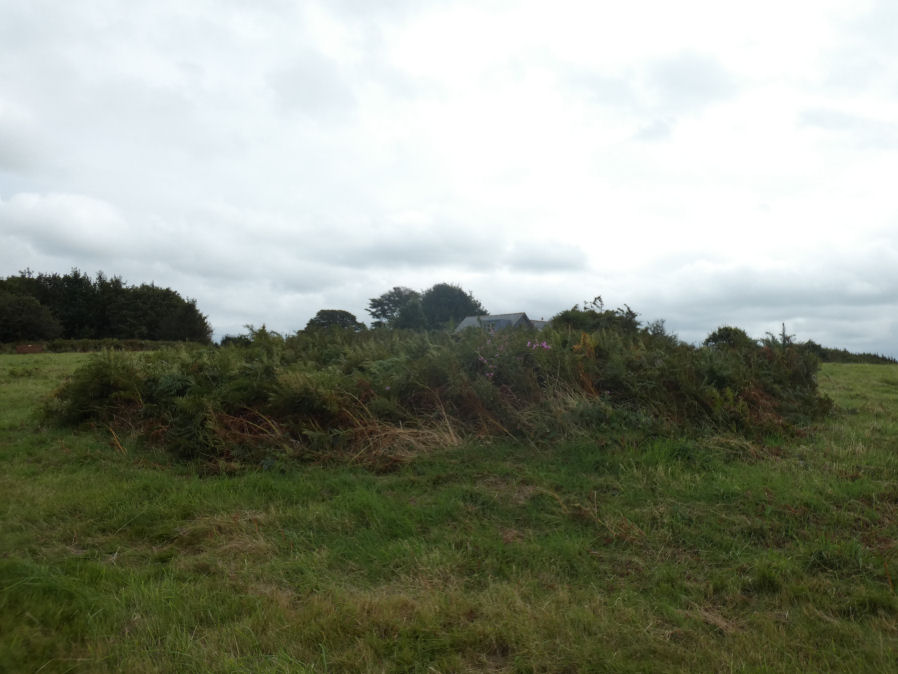
Photo taken on 12-09-2021
Database entries
OS Map: SX 65186 93032
OS Source: Google
Butler OS: SX65189306
Alternate name: Ramsley Hill (site of)
Short Name: CN-Ramsley
Butler map: 41.
Exist: Maybe
Record: Unique
Record Source: Butler
Hut Class: No
Cairn Class: Maybe
Dimensions (m): 10 x 0.7
Lidar: SX 65186 93032
Guide Map: 3
Nearest Bus Stop: South Zeal The Croft (0.4 km) [Route: 178]
Nearby sites: SX 65186 93032
Notes
Butler lists this amongst the cairns for his Map 41. However Map 40 was probably intended where there is a discussion of streamworking and associated mounds. Also there was a ninteenth century report of a stone row and associated monuments at Ramsley that no longer exist.References
These are selected references with an emphasis on out of copyright sources linked as PDFs. For more detailed references try any linked HER or PMD record above.
- Butler, Jeremy, Dartmoor Atlas of Antiquities, vol.2: The North, (1991)