
Corn Ridge N.W.2 (Cairn Row) Cairn
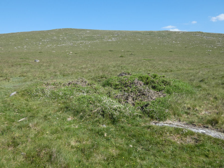
Photo taken on 22-06-2022
Database entries
OS Map: SX 54623 89529
OS Source: Garmin
HER: MDV50568
Alternate name: Corn Ridge N.W.2 (Cairn Row)
Short Name: CN Corn Ridg2
Butler map: 43.10.2
Exist: Yes
Record: Unique
Record Source: Butler
Cairn Class: Yes
Dimensions (m): 7.5 x 0.3
Lidar: SX 54623 89529
Nearest Bus Stop: Sourton Windard Terrace (1.4 km) [Route: 118]
Nearby sites: SX 54623 89529
Notes
Butler Corn Ridge NW2. Northern most of pair of cairns near stone circle. Southern terminal of cairn alignment. There is no HER entry specific to this cairn but MDV50568 desribes the alignment including this cairn. The HER record duplicates MDV55327 except perhaps there shoudl be a record for the cairn alignment and a record just for this cairn. This record on PDW is just for the cairn, see also SiteID=4159 for the cairn alignment.References
These are selected references with an emphasis on out of copyright sources linked as PDFs. For more detailed references try any linked HER or PMD record above.
- Butler, Jeremy, Dartmoor Atlas of Antiquities, vol.2: The North, (1991)