
Barn Hill N.E. Reported Cairn
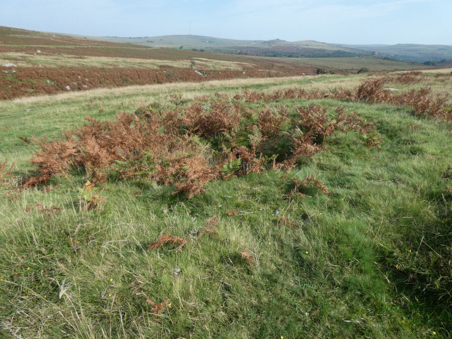
Photo taken on 09-09-2023
Database entries
OS Map: SX 53442 75013
OS Source: Garmin
Butler OS: SX53437503
HER: MDV63573
Alternate name: Barn Hill N.E.
Short Name: CN BarnHill NE
Butler map: 44.10.4
Exist: Yes
Record: Unique
Record Source: Butler
Hut Class: No
Cairn Class: Maybe
Dimensions (m): 11.0 x 0.5
Lidar: SX 53442 75013
Guide Map: 32
Nearest Bus Stop: Merrivale Dartmoor Inn (1.8 km) [Route: 98,171,172]
Nearby sites: SX 53442 75013
Notes
Possibly NMR 1359050. "Despoiled prehistoric barrow on the east side of barn hill just to the west of the streamwork. The top of the monument has recently been dug into."The author revisited this site on 15/10/2024. I had come via some military redoubts in the vicinity. I made this comment on social media the next day: "It is a bit difficult to capture in a photo but the digging into it is trenching that looks to me like a horse shoe shaped trench like a military redoubt from the second world war. There are quite a few such features in the area which are clearly military". This does not rule out the possibility that it was military interference/reuse of a cairn but I'm inclined to think this feature is not prehistoric. It is now listed here as a "reported cairn" instead of a "cairn".
References
These are selected references with an emphasis on out of copyright sources linked as PDFs. For more detailed references try any linked HER or PMD record above.
- Butler, Jeremy, Dartmoor Atlas of Antiquities, vol.3: The South-West, (1994)