
Fernworthy S.E. Stone Row
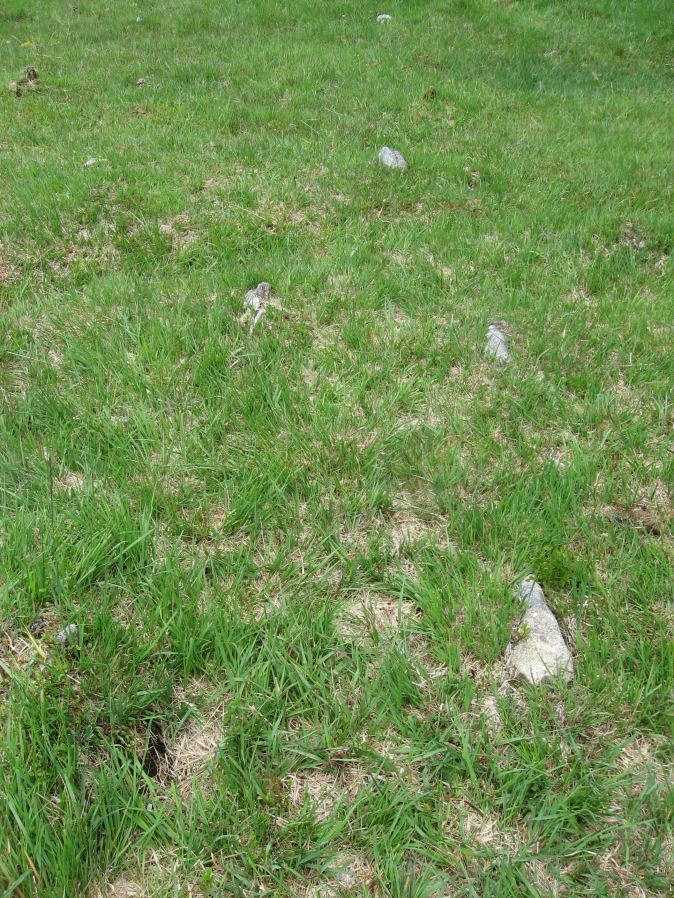
Photo taken on 25-07-2015
Database entries
PDW coverage: Dartmoor Site: Fernworthy Ceremonial Complex
OS Map: SX 6549 8407
OS Source: SRGB
HER: MDV6556
Megalithic Portal: 10484
The Stone Rows of GB: Fernworthy 2
PMD: Fernworthy C Stone Row
Alternate name: Fernworthy 2
Short Name: SR Fernwthy SE
Butler map: 35.15.2
DPD page: 138
Exist: Yes
Record: Unique
Record Source: PDW
Hut Class: No
Dimensions (m): 20.5
Lidar: SX 6549 8407
Guide Map: 19
Nearest Bus Stop: Warren House Inn (4.8 km) [Route: 171]
Nearby sites: SX 6549 8407
Notes
Butler Row 2. "Centred at SX 65518404 is a cairn. 45m to the N at SX 65508409 is a barrow containing the remains of a cist. Between the two are the very fragmented remains of an alleged double stone row running N to S parallel to another row (SX 68 SE 59) which leads towards Fernworthy Stone Circle. The row, barrow and cairn have all been comprehensively damaged by afforestation and the digging of the adjacent drainage channels. Seven stones survive of an alignment but there is little evidence that it was a double row. The barrow at the N end of the row measures up to 6m in diameter and is 0.4m high, although its shape is obscured by drainage channels. The cist in the centre is represented by two stones set at right angles, 0.4m tall internally. The cairn at the S end of the row measures 7.3m N to S by 8.5m and is 0.5m high. There is a large amount of surface stone on and around it." DNP Post 5D.References
These are selected references with an emphasis on out of copyright sources linked as PDFs. For more detailed references try any linked HER or PMD record above.
- Baring-Gould, Sabine, Fifth Report of the Dartmoor Exploration Committee, T.D.A. Vol.30 pp.97-115 (1898)
- Burnard, Robert, Early Man, The Victoria History of the County of Devon: v. 1 (1906)
- Butler, Jeremy, Dartmoor Atlas of Antiquities, vol.2: The North, (1991)
- Edwards, Chris, An archaeological survey of an area surrounding Hemerdon Ball, (1979)
- Emmett, D.D., Stone rows: the traditional view reconsidered, D.A.S.P. No.37 pp.94-114 (1979)
- Newman, Phil, The Archaeology of Fernworthy Forest, Dartmoor, Southwest Landscape Investigations (2013)
- Rowe, Samuel, A Perambulation of Dartmoor (1st Edition), (1848)
- Worth, R. Hansford, The Stone Rows of Dartmoor Part 1, T.D.A. Vol.78 pp.285-316 (1946)