
Raddick Hill Summit 2 Reported Cist
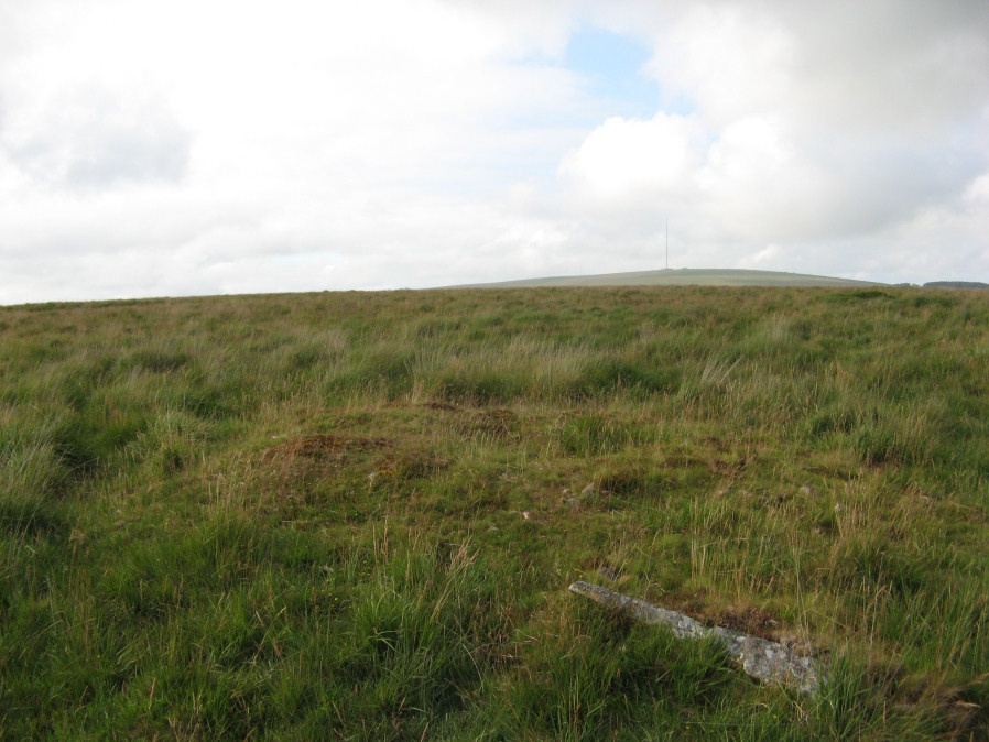
Photo taken on 22-07-2019
Database entries
OS Map: SX 57835 70986
OS Source: Garmin
HER: MDV4950
PMD: Raddick Hill 2
Alternate name: Raddick Hill Summit 2
Short Name: CT Raddick H8
Butler map: 46.6.2
Grinsell: WALKHAMPTON 16
Exist: Yes
Record: Unique
Record Source: Butler
Cist Class: Yes
Cairn Class: Yes
Barrow Report: 18
Dimensions (m): 6.8 x 0.4 C
Lidar: SX 57835 70986
Nearest Bus Stop: Princetown Dartmoor Visitor Centre (2.8 km) [Route: 98,171,172]
Nearby sites: SX 57835 70986
Notes
Cairn with hollow towards centre, excavated nnw, had been previously robbed and capstone missing; large slab on se margin of mound may in fact be this capstone. NMR 440137 AReferences
These are selected references with an emphasis on out of copyright sources linked as PDFs. For more detailed references try any linked HER or PMD record above.
- Butler, Jeremy, Dartmoor Atlas of Antiquities, vol.3: The South-West, (1994)
- Grinsell, L.V., Dartmoor Barrows, Devon Archaeological Society Proceedings No.36 (1978)
- Worth, R. Hansford, Barrow Report 18, T.D.A. Vol.31 pp. (1899)
- Worth, R. Hansford, Barrow Report 21, T.D.A. Vol.34 pp.104- 146 (1902)