
Raddick Hill Summit 4 Cairn
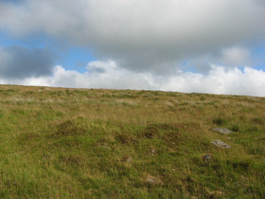
Photo taken on 22-07-2019
Database entries
OS Map: SX 58097 71314
OS Source: Garmin
Butler OS: SX58097130
HER: MDV4962
Alternate name: Raddick Hill Summit 4
Short Name: CN RaddickSu4
Butler map: 46.6.4
Grinsell: WALKHAMPTON 14
Exist: Yes
Record: Unique
Record Source: Butler
Hut Class: No
Cist Class: Maybe
Cairn Class: Yes
Barrow Report: 18
Dimensions (m): 6.5 x 0.8
Lidar: SX 58097 71314
Guide Map: 38
Nearest Bus Stop: Princetown Dartmoor Visitor Centre (3.1 km) [Route: 98,171,172]
Nearby sites: SX 58097 71314
Notes
"cairn mound 7m diam, 1.2m high. A hollow in centre of the mound, measuring 2m long, 0.5m wide and 0.1m deep, suggests partial early excavation or robbing. The site is described by the dartmoor exploration committee as being the one in which a cist containing a piece of bronze was found. It is however more likely that sx57se/73 is the provenance of this find because that cairn more closely fits the description given in the excavation report (mpp). "References
These are selected references with an emphasis on out of copyright sources linked as PDFs. For more detailed references try any linked HER or PMD record above.
- Butler, Jeremy, Dartmoor Atlas of Antiquities, vol.3: The South-West, (1994)
- Grinsell, L.V., Dartmoor Barrows, Devon Archaeological Society Proceedings No.36 (1978)
- Worth, R. Hansford, Barrow Report 18, T.D.A. Vol.31 pp. (1899)
- Worth, R. Hansford, Barrow Report 21, T.D.A. Vol.34 pp.104- 146 (1902)