
Yellowmead Down 2 Cairn
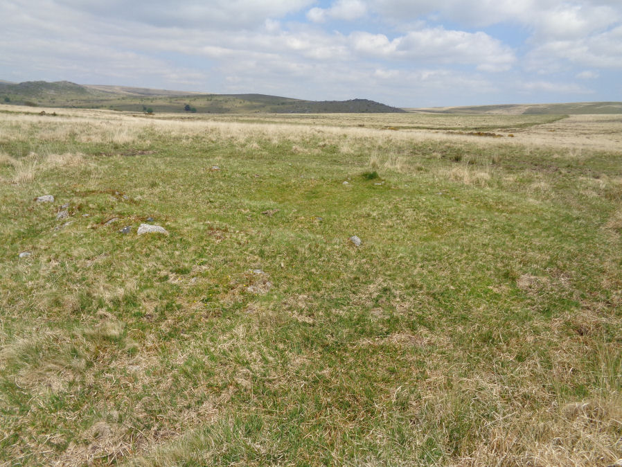
Photo taken on 31-10-2024
Database entries
OS Map: SX 57782 67747
OS Source: Google
Butler OS: SX57786775
HER: MDV4026
Alternate name: Yellowmead Down 2
Short Name: CN Yellowmead2
Butler map: 47.14.2
Grinsell: SHEEPSTOR 6
Exist: Yes
Record: Unique
Record Source: Butler
Hut Class: No
Cairn Class: Yes
Dimensions (m): c.7.0 x 0.3
Lidar: SX 57782 67747
Guide Map: 48
Nearest Bus Stop: Meavy Primary School (4.4 km) [Route: 56]
Nearby sites: SX 57782 67747
Notes
"This cairn has been much robbed by digging away the centre from the north side where there is a 2.0 metre gap in the rim-like perimeter. Its diameter is 8.0 metres and rim height 0.4 metres. There is no trace of a kerb or of a cist."References
These are selected references with an emphasis on out of copyright sources linked as PDFs. For more detailed references try any linked HER or PMD record above.
- Butler, Jeremy, Dartmoor Atlas of Antiquities, vol.3: The South-West, (1994)
- Grinsell, L.V., Dartmoor Barrows, Devon Archaeological Society Proceedings No.36 (1978)