
Saddlesborough E.1 Cairn Circle
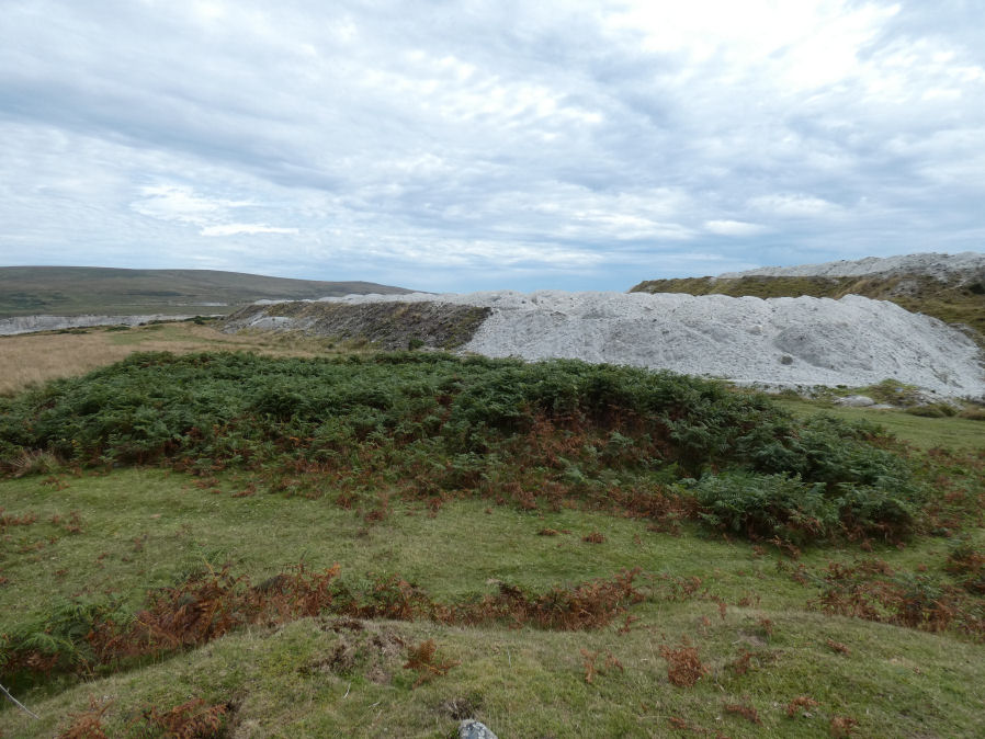
Photo taken on 12-09-2022
Database entries
OS Map: SX 56015 63179
OS Source: Google
Butler OS: SX56016317
HER: MDV2553
Alternate name: Saddlesborough E.1
Short Name: CN Saddlesbo1
Butler map: 48.3.1
Exist: Yes
Record: Unique
Record Source: Butler
Hut Class: No
Cairn Class: Yes
Barrow Report: 7
Dimensions (m): 16.0 x 1.0
Lidar: SX 56015 63179
Guide Map: 53
Nearest Bus Stop: Wotter Methodist Church (1.7 km) [Route: 59]
Nearby sites: SX 56015 63179
Notes
"The remains of an impressive, though extensively disturbed ring cairn are located at SX56016317 on a gentle south-east facing slope 130 meters from the summit area of Saddlesborough at 298 meters above Ordnance Datum. It survives as an amorphous turf-covered ragged `rim' of stones." Possibly covered in Barrow Report 7.References
These are selected references with an emphasis on out of copyright sources linked as PDFs. For more detailed references try any linked HER or PMD record above.
- Butler, Jeremy, Dartmoor Atlas of Antiquities, vol.3: The South-West, (1994)
- Fletcher, M. + Probert, S., Shaugh Moor, Devon: An Archaeological Survey, 3, Royal Commission on the Historical Monuments of England Report (1998)
- Worth, R.N., Barrow Report 7, T.D.A. Vol.17 (1885)