
Trendlebere Down Stone Row
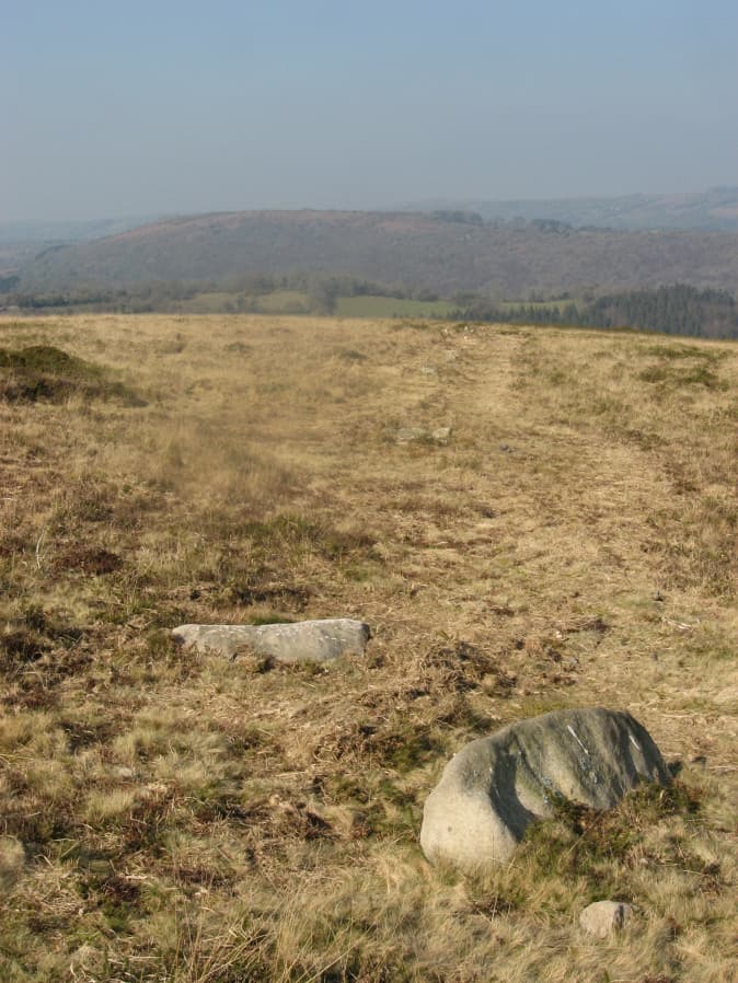
Photo taken on 17-03-2016
Database entries
OS Map: SX 76600 79239
OS Source: SRGB
HER: MDV8076
Megalithic Portal: 2171
The Stone Rows of GB: Trendlebere Down
PMD: Trendlebeare Down Stone Row
Alternate name: Trendlebere Down
Short Name: SR Trendlebere
Butler map: 2.7
DPD page: 151
Exist: Yes
Record: Unique
Record Source: PDW
Hut Class: No
Dimensions (m): 119
Lidar: SX 76600 79239
Guide Map: 31
Nearest Bus Stop (Minor): Manaton Becky Falls (1.4 km) [Route: 271,671]
Nearest Bus Stop (Major): Lustleigh Bishops Stone (3.0 km) [Route: 178]
Nearby sites: SX 76600 79239
Notes
"A stone row 100ft. to the north of the Haytor-Manaton road." 18 stones of the stone row can be identified of which 9 are fallen and 9 upright stones. The fallen stones vary in length between 3'4" and 4'6"; the upright ones between 6" and 2'4".References
These are selected references with an emphasis on out of copyright sources linked as PDFs. For more detailed references try any linked HER or PMD record above.
- Butler, Jeremy, Dartmoor Atlas of Antiquities, vol.1: The East, (1991)
- Emmett, D.D., Stone rows: the traditional view reconsidered, D.A.S.P. No.37 pp.94-114 (1979)
- Gerrard, Sandy, English Heritage Book of Dartmoor: Landscapes Through Time, (1997)
- Lethbridge, William D., Discover Preshistoric Dartmoor, (2015)
- Rowe, Samuel, A Perambulation of Dartmoor (3rd Edition), (1896)
- Worth, R. Hansford, The Stone Rows of Dartmoor Part 1, T.D.A. Vol.78 pp.285-316 (1946)
- Worth, R.N., The Stone Rows of Dartmoor - Part 5, T.D.A. Vol.28 pp.712-13 (1896)