
Drizzlecombe 15 Cairn
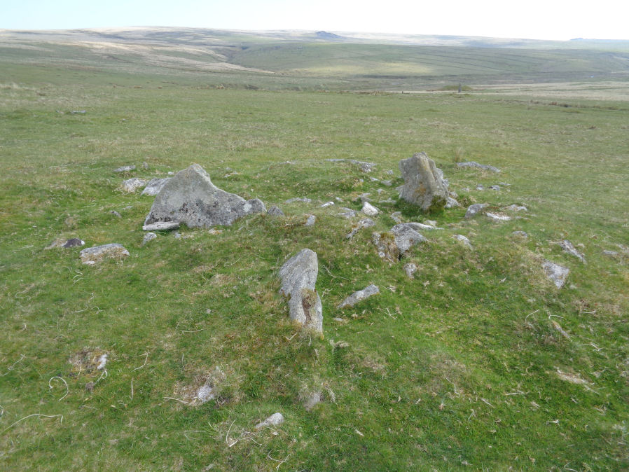
Photo taken on 19-05-2018
Database entries
OS Map: SX 59262 67208
OS Source: Garmin
Butler OS: SX59256721
HER: MDV3368
Alternate name: Drizzlecombe 15
Short Name: CN Drizzle 15
Butler map: 49.19.15
Grinsell: SHEEPSTOR 26
Exist: Yes
Record: Unique
Record Source: Butler
Hut Class: Maybe
Cairn Class: Maybe
Dimensions (m): c.8.0 x 0.3
Lidar: SX 59262 67208
Guide Map: 48
Nearest Bus Stop: Meavy Primary School (6.2 km) [Route: 56]
Nearby sites: SX 59262 67208
Notes
Cairn or hut circle? Probable cairn - although only hut circles listed in this precise location on HER although there are also numerous cairns in the general area. The photo of this site matches well the diagram given by Butler on p.141 of Vol 3 of the Dartmoor Atlas of Antiquities with the four large slabs radiating out from the centre.References
These are selected references with an emphasis on out of copyright sources linked as PDFs. For more detailed references try any linked HER or PMD record above.
- Butler, Jeremy, Dartmoor Atlas of Antiquities, vol.3: The South-West, (1994)
- Grinsell, L.V., Dartmoor Barrows, Devon Archaeological Society Proceedings No.36 (1978)