
Ringmoor Down 5 Cairn
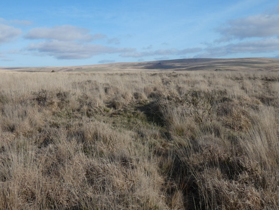
Photo taken on 19-02-2023
Database entries
OS Map: SX 56032 66052
OS Source: Garmin
Butler OS: SX56036605
HER: MDV20142
Alternate name: Ringmoor Down 5
Short Name: CN Ringmoor 5
Butler map: 49.21.5
Grinsell: SHEEPSTOR 10
Exist: Yes
Record: Unique
Record Source: Butler
Hut Class: No
Cairn Class: Yes
Dimensions (m): 13.0 x 0.4
Lidar: SX 56032 66052
Guide Map: 47
Nearest Bus Stop: Meavy Primary School (2.6 km) [Route: 56]
Nearby sites: SX 56032 66052
Notes
"The robbed remains of a cairn lie on the crest of Ringmoor Down 20m south-east of the course of the Eylesbarrow Reave. the remains consist of a flat-topped mound 13m in diameter and a maximum of 0.4m high on the north-west side. It appears to have been heavily robbed - probably during the reconstruction of the reave in the medieval period. A slight rim, 0.15m high, runs around the crest of this feature. There is no suggestion of a cist or kerb associated with this cairn. An old slit trench lies in the western quadrant and this feature is now covered in dense molinea grass." Visited by author 19/02/2023.References
These are selected references with an emphasis on out of copyright sources linked as PDFs. For more detailed references try any linked HER or PMD record above.
- Butler, Jeremy, Dartmoor Atlas of Antiquities, vol.3: The South-West, (1994)
- Grinsell, L.V., Dartmoor Barrows, Devon Archaeological Society Proceedings No.36 (1978)
- Newman, Phil, Ringmoor Down Premier Archaeological Landscape - A new survey , Southwest Landscape Investigations (2022)