
Ringmoor Down 6 Cairn
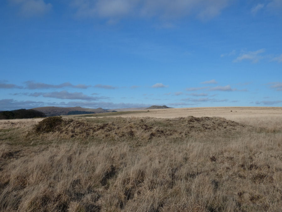
Photo taken on 19-02-2023
Database entries
OS Map: SX 56030 66266
OS Source: Google
Butler OS: SX56036627
HER: MDV3992
Alternate name: Ringmoor Down 6
Short Name: CN Ringmoor 6
Butler map: 49.21.6
Grinsell: SHEEPSTOR 12
Exist: Yes
Record: Unique
Record Source: Butler
Hut Class: No
Cairn Class: Yes
Dimensions (m): 19.0 x 1.2
Lidar: SX 56030 66266
Guide Map: 47
Nearest Bus Stop: Meavy Primary School (2.3 km) [Route: 56]
Nearby sites: SX 56030 66266
Notes
"Northern of two turf covered cairns of 19.5 metres diameter by 1.2 metres high. Slightly mutilated on its western side by military operations, otherwise in good condition". Visited by author 19/02/2023. Quite a substantial cairn. Shows the same L-shaped trenching on the western side as found on the 3 (North of Row) reported cairns 4121-4123. HER suggests the trenching is from military activities.References
These are selected references with an emphasis on out of copyright sources linked as PDFs. For more detailed references try any linked HER or PMD record above.
- Butler, Jeremy, Dartmoor Atlas of Antiquities, vol.3: The South-West, (1994)
- Grinsell, L.V., Dartmoor Barrows, Devon Archaeological Society Proceedings No.36 (1978)
- Newman, Phil, Ringmoor Down Premier Archaeological Landscape - A new survey , Southwest Landscape Investigations (2022)