
Conies Down Stone Row
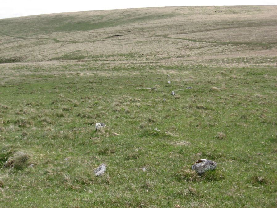
Photo taken on 30-05-2015
Database entries
OS Map: SX 58591 79076
OS Source: SRGB
HER: MDV4592
Megalithic Portal: 1846
The Stone Rows of GB: Conies Down
PMD: Conies Down Stone Row
Alternate name: Conies Down
Short Name: SR ConiesDown
Butler map: 30.11
DPD page: 107
Exist: Yes
Record: Unique
Record Source: PDW
Hut Class: No
Dimensions (m): 172.
Lidar: SX 58591 79076
Guide Map: 25
Nearest Bus Stop: Two Bridges Hotel (6.1 km) [Route: 98,171,172]
Nearby sites: SX 58591 79076
Notes
"The Conies Down stone row is oriented a few degrees west of north-south and is 145m long. Originally a double alignment of stones, only three pairs of upright stones now survive. There are a total of 17 upright and 15 recumbent stones. The average gap between stones is 10m and between the pairs the gap is some 1.4m wide". Lethbridge diagram p.107.References
These are selected references with an emphasis on out of copyright sources linked as PDFs. For more detailed references try any linked HER or PMD record above.
- Butler, Jeremy, Dartmoor Atlas of Antiquities, vol.2: The North, (1991)
- Emmett, D.D., Stone rows: the traditional view reconsidered, D.A.S.P. No.37 pp.94-114 (1979)
- Newman, Phil, Archaeological Sites within Merrivale Training Area, Southwest Landscape Investigations (2018)
- Rowe, Samuel, A Perambulation of Dartmoor (3rd Edition), (1896)
- Worth, R. Hansford, The Stone Rows of Dartmoor Part 1, T.D.A. Vol.78 pp.285-316 (1946)
- Worth, R.N., The Stone Rows of Dartmoor - Part 2, T.D.A. Vol.25 pp.541-546 (1893)