
Butter Brook homestead Reported Cairn
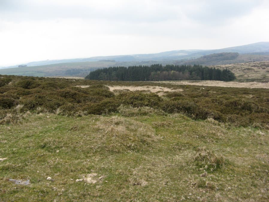
Photo taken on 13-04-2019
Database entries
OS Map: SX 65146 59125
OS Source: Garmin
Butler OS: SX65155913
HER: MDV128295
Alternate name: Butter Brook homestead
Short Name: CN-ButterHome
Butler map: 53.4
Exist: Yes
Record: Unique
Record Source: Butler
Hut Class: No
Cairn Class: Maybe
Dimensions (m): 4.5 x 0.6
Lidar: SX 65146 59125
Guide Map: 58
Nearest Bus Stop: Ivybridge BP Garage (Stop B) (4.3 km) [Route: 38]
Nearby sites: SX 65146 59125
Notes
Butler: Possibly associated with the homestead is a small cairn dug into from the north-east side, sited almost on the skyline 200 m to the south. Butler gives location as SX 6515 5913. The item in the photo might be the cairn referred to but the author is uncertain. It is at SX 65146 59125.References
These are selected references with an emphasis on out of copyright sources linked as PDFs. For more detailed references try any linked HER or PMD record above.
- Butler, Jeremy, Dartmoor Atlas of Antiquities, vol.4: The South-East, (1993)