
Butterdon Hill S.E.10 Cairn
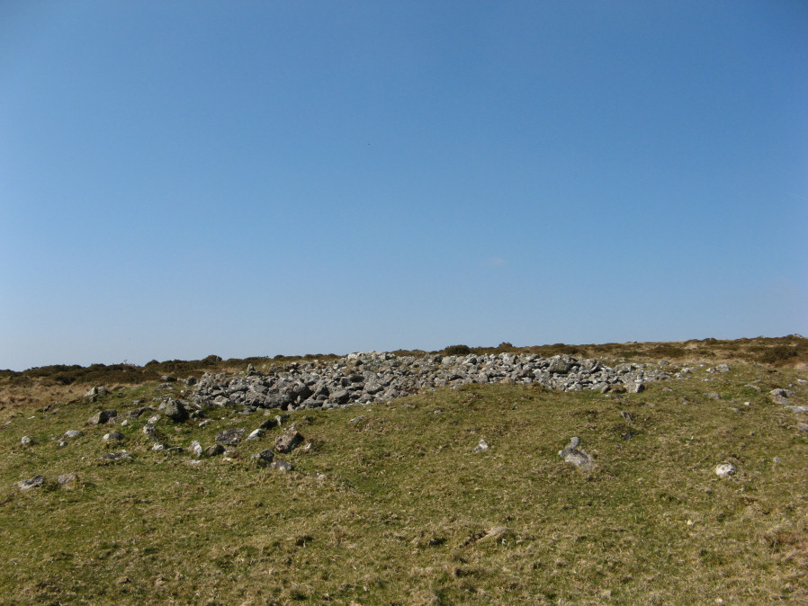
Photo taken on 30-03-2019
Database entries
OS Map: SX 65629 58529
OS Source: Google
Butler OS: SX65625852
HER: MDV2896
Alternate name: Butterdon Hill S.E.10
Short Name: CN Butterdon10
Butler map: 53.9.10
Grinsell: UGBOROUGH 21
Exist: Yes
Record: Unique
Record Source: Butler
Hut Class: No
Cairn Class: Yes
Dimensions (m): 17.0 x 1.0
Lidar: SX 65629 58529
Guide Map: 58
Nearest Bus Stop: Ivybridge BP Garage (Stop B) (4.0 km) [Route: 38]
Nearby sites: SX 65629 58529
Notes
"Cairn consisting of a mound of stones upon a stone, earth and turf base, possibly with a berm and ditch. Diameter 15m, height approx 1.8m"References
These are selected references with an emphasis on out of copyright sources linked as PDFs. For more detailed references try any linked HER or PMD record above.
- Butler, Jeremy, Dartmoor Atlas of Antiquities, vol.4: The South-East, (1993)
- Grinsell, L.V., Dartmoor Barrows, Devon Archaeological Society Proceedings No.36 (1978)
- Hankin, C. F., Archaeological checklist of Ugborough parish, D.A.S.P. No.33 (1975)