
Butterdon Hill N.2 Cairn
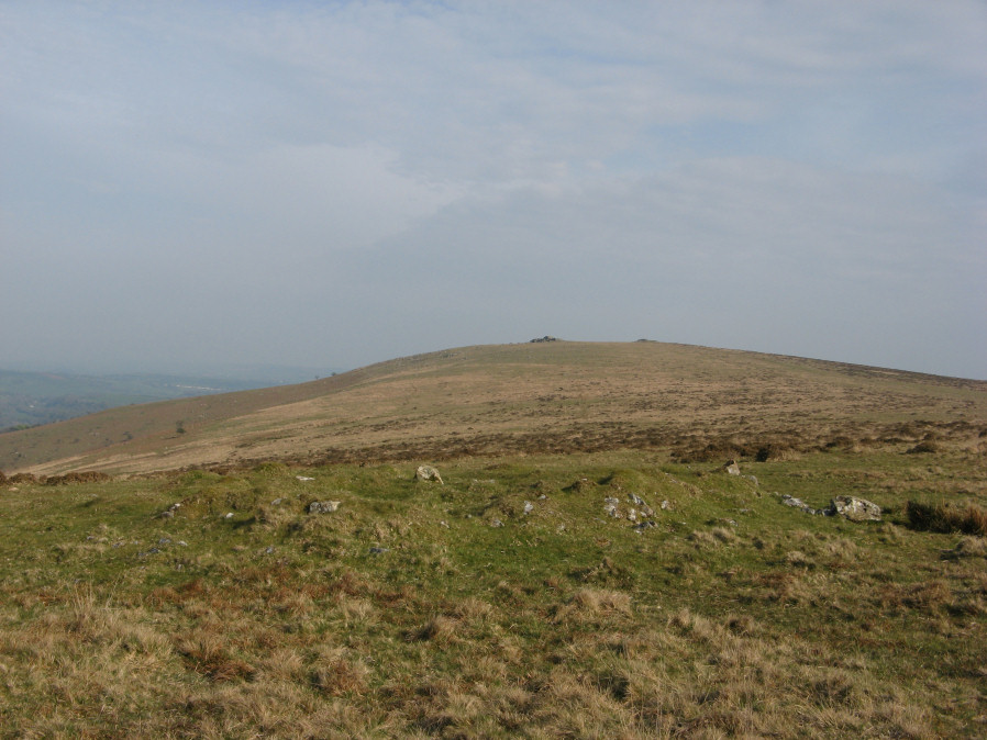
Photo taken on 22-04-2019
Database entries
OS Map: SX 65996 59834
OS Source: Garmin
Butler OS: SX65985982
HER: MDV2901
Alternate name: Butterdon Hill N.2
Short Name: CN ButterdonN2
Butler map: 53.10.2
Grinsell: UGBOROUGH 14
Exist: Yes
Record: Unique
Record Source: Butler
Hut Class: No
Cairn Class: Yes
Dimensions (m): 12.0 x 0.5
Lidar: SX 65996 59834
Guide Map: 58
Nearest Bus Stop: South Brent Pool Park (5.5 km) [Route: 38]
Nearby sites: SX 65996 59834
References
These are selected references with an emphasis on out of copyright sources linked as PDFs. For more detailed references try any linked HER or PMD record above.
- Butler, Jeremy, Dartmoor Atlas of Antiquities, vol.4: The South-East, (1993)
- Grinsell, L.V., Dartmoor Barrows, Devon Archaeological Society Proceedings No.36 (1978)