
Piles Hill S.W.2 Reported Cist
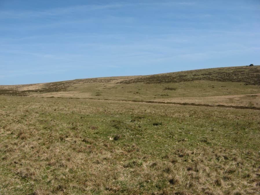
Photo taken on 20-04-2019
Database entries
OS Map: SX 64812 59675
OS Source: Garmin
Butler OS: SX64805970
HER: MDV13091
PMD: Butter Brook
Alternate name: Piles Hill S.W.2
Short Name: CN PilesSW 2
Butler map: 53.11.2
Grinsell: HARFORD 25
Exist: Yes
Record: Unique
Record Source: Butler
Hut Class: No
Cist Class: Maybe
Cairn Class: Yes
Dimensions (m): 6.0 x 0.4 C?
Lidar: SX 64812 59675
Guide Map: 58
Nearest Bus Stop: Ivybridge BP Garage (Stop B) (4.8 km) [Route: 38]
Nearby sites: SX 64812 59675
Notes
This cairn may also have headed a stone row but only one slab remains. At the centre of the cairn there is a flat slab which was probably the cover of a cist [Butler]. This area has very many patches of gorse that look like they could conceal a mound but could just be vegetation. This makes identifying claimed cairns very difficult. A mound could be identified on Lidar at SX 64810 59670 - this fits closely with both Butler's location and with the Garmin location of the object in the photo.References
These are selected references with an emphasis on out of copyright sources linked as PDFs. For more detailed references try any linked HER or PMD record above.
- Butler, Jeremy, Dartmoor Atlas of Antiquities, vol.4: The South-East, (1993)
- Grinsell, L.V., Dartmoor Barrows, Devon Archaeological Society Proceedings No.36 (1978)