
Piles Hill S.W.4 Clearance Cairn
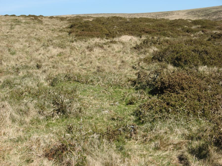
Photo taken on 20-04-2019
Database entries
OS Map: SX 64697 59781
OS Source: Garmin
Butler OS: SX64685975
HER: MDV130031
Alternate name: Piles Hill S.W.4
Short Name: CN-PilesSW 4
Butler map: 53.11.4
Exist: Yes
Record: Unique
Record Source: Butler
Hut Class: No
Cairn Class: Maybe
Dimensions (m): 3.5 x 0.3
Lidar: SX 64697 59781
Guide Map: 58
Nearest Bus Stop: Ivybridge BP Garage (Stop B) (4.9 km) [Route: 38]
Nearby sites: SX 64697 59781
Notes
Butler describes as cairn. However, possibly a clearance cairn associated with the Bulllaven Reave. This area has very many patches of gorse that look like they could conceal a mound but could just be vegetation. This makes identifying claimed cairns very difficult. The Butler cairns 53.11.4 and 53.11.5 have NGRs given by Butler as SX 6468 5975 and SX 6465 5974 respectively. Possible matches to these sites on Lidar data are mounds a few metres away to the north-east at SX 64679 59766 and SX 64692 59773. These two mounds could be found and have the locations of SX 64684 59771 and SX 64697 59781 as taken on a Garmin on 20/04/2019. The sites in the photos correspond to this.References
These are selected references with an emphasis on out of copyright sources linked as PDFs. For more detailed references try any linked HER or PMD record above.
- Butler, Jeremy, Dartmoor Atlas of Antiquities, vol.4: The South-East, (1993)