
Piles Hill S.W.12 Cairn
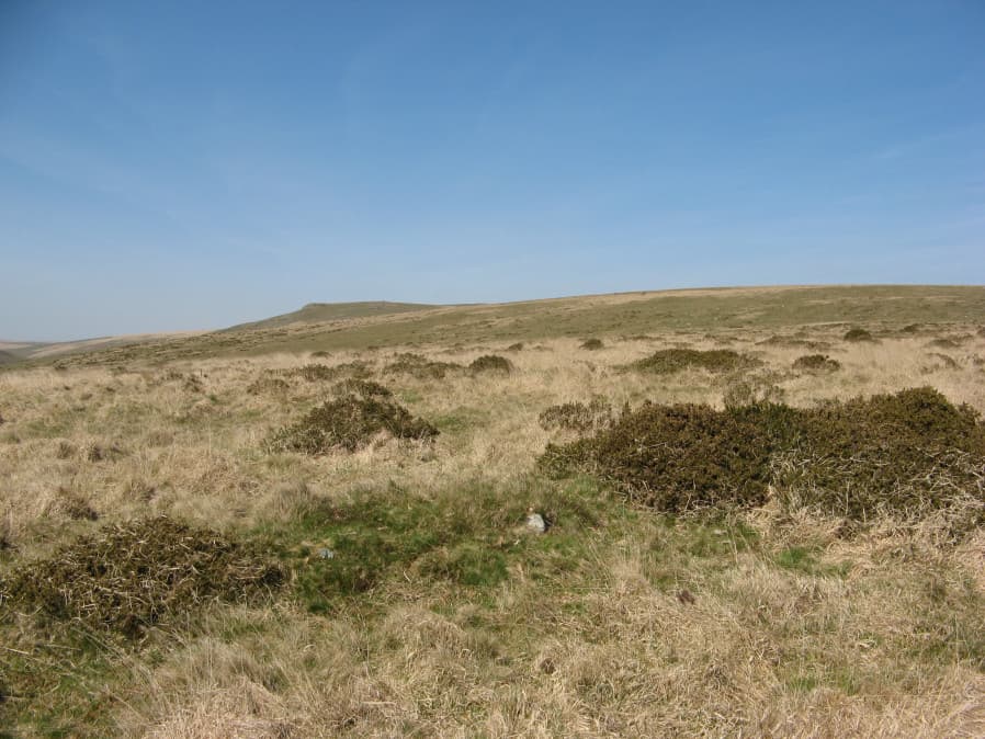
Photo taken on 20-04-2019
Database entries
OS Map: SX 64914 60068
OS Source: Garmin
Butler OS: SX64926006
HER: MDV130016
Alternate name: Piles Hill S.W.12
Short Name: CN PilesHil112
Butler map: 53.11.12
Grinsell: HARFORD 24
Exist: Yes
Record: Unique
Record Source: Butler
Hut Class: No
Dimensions (m): 8.0 x 0.5
Lidar: SX 64914 60068
Guide Map: 57
Nearest Bus Stop: Ivybridge BP Garage (Stop B) (5.3 km) [Route: 38]
Nearby sites: SX 64914 60068
Notes
Sited on a hill slope at the juncion of two reaves. This area has very many patches of gorse that look like they could conceal a mound but could just be vegetation. This makes identifying claimed cairns very difficult. The author looked for this cairn on 20/04/2019 and found this. The mound is long and thin and consistent with a fragmentary section of a reave rather than a cairn.References
These are selected references with an emphasis on out of copyright sources linked as PDFs. For more detailed references try any linked HER or PMD record above.
- Butler, Jeremy, Dartmoor Atlas of Antiquities, vol.4: The South-East, (1993)
- Fleming, Andrew, The prehistoric landscape of Dartmoor Part 1: South Dartmoor , Proceedings of the Prehistoric Society , Volume 44 , pp. 97 - 12 (1978)
- Grinsell, L.V., Dartmoor Barrows, Devon Archaeological Society Proceedings No.36 (1978)