
Lud Brook Reported Cairn
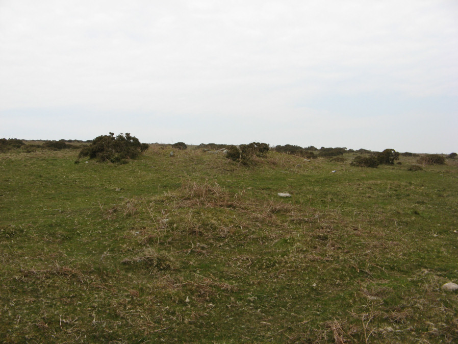
Photo taken on 22-04-2019
Database entries
OS Map: SX 66014 58548
OS Source: Garmin
Butler OS: SX66025857
Alternate name: Lud Brook
Short Name: CN Lud Brook
Butler map: 53.15
Exist: Yes
Record: Unique
Record Source: Butler
Hut Class: No
Cairn Class: Yes
Dimensions (m): 4.0 x 0.4
Lidar: SX 66014 58548
Guide Map: 58
Nearest Bus Stop: Ivybridge BP Garage (Stop B) (4.3 km) [Route: 38]
Nearby sites: SX 66014 58548
Notes
A small cairn just in front of the Butterdon Hill neolithic long cairn which can be seen behind it. Butler: "Five metres from and in line with the lower end of the latter is a conventional round cairn, also dug into".References
These are selected references with an emphasis on out of copyright sources linked as PDFs. For more detailed references try any linked HER or PMD record above.
- Butler, Jeremy, Dartmoor Atlas of Antiquities, vol.4: The South-East, (1993)