
Glasscombe Ball S.1 Clearance Cairn
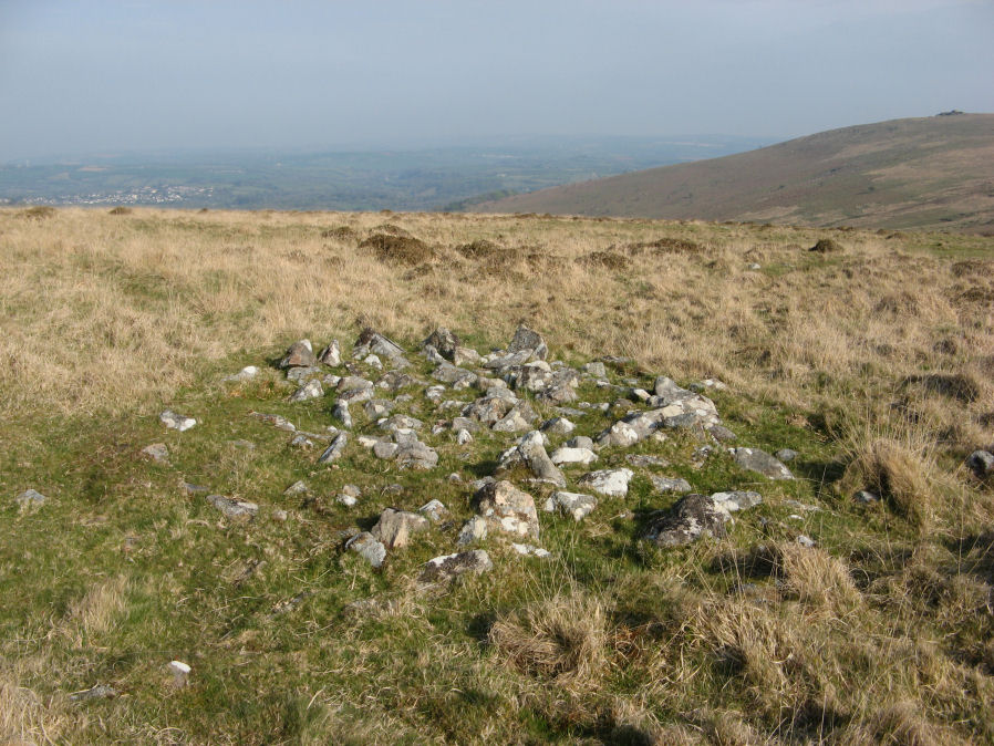
Photo taken on 22-04-2019
Database entries
OS Map: SX 65937 60181
OS Source: Garmin
Butler OS: SX65896022
HER: MDV103623
Alternate name: Glasscombe Ball S.1
Short Name: CN-GlassBallS1
Butler map: 56.13
Exist: Yes
Record: Unique
Record Source: Butler
Hut Class: No
Cairn Class: Maybe
Dimensions (m): 4.0 x 0.6
Lidar: SX 65937 60181
Guide Map: 57
Nearest Bus Stop: South Brent Pool Park (5.6 km) [Route: 38]
Nearby sites: SX 65937 60181
Notes
Cairn west of the Butterdon Hill stone row; approx 5 metres in diameter. About 11m north of the row. May be medieval or later feature, rather than prehistoric. See also site 1764 which has a very similar appearance and is 100 m due west of this.The HER (103623) grid reference closely matches the location of the other cairn in this pair so probably refers to that (as does the NMR record SX 66 SE 106). Butler lists only one such cairn which he refers to as being close to the stone row which fits the location of this cairn.
References
These are selected references with an emphasis on out of copyright sources linked as PDFs. For more detailed references try any linked HER or PMD record above.
- Butler, Jeremy, Dartmoor Atlas of Antiquities, vol.4: The South-East, (1993)